Take-out
ID
Take Out
Slate Creek (Tributary of St. Joe River) - Old Miner's Cabin (Fritz Creek) to St. Joe Confluence (ID)
Gauge Conditions
Runnable: ? – ? CFS
Approximate - nearest available gauge. Use as general reference only.
Data from American Whitewater & USGS
Photo
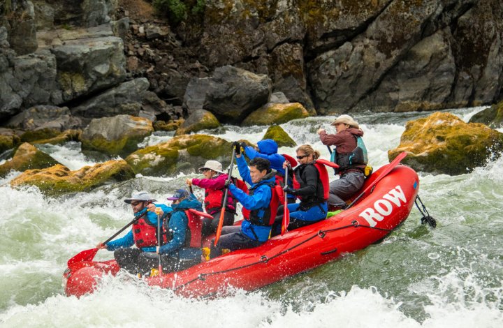
Photo courtesy of American Whitewater
Description
Take Out rapid marks the end of the Slate Creek run, signaling the confluence with the St. Joe River and typically requiring careful navigation through potential debris and shifting water volumes. The rapid's character can vary significantly with water levels, potentially presenting hidden obstacles or shallow sections that demand precise boat positioning and technical maneuvering.
Location
Other Rapids on This Run (1)

View Full Run
Old Miner's Cabin (Fritz Creek) to St. Joe Confluence
Slate Creek (Tributary of St. Joe River)
IV-V
7.9 mi
Current Conditions
5-Day Forecast
Whitewater data from
American Whitewater
American Whitewater