Gauge Conditions
Data from American Whitewater & USGS
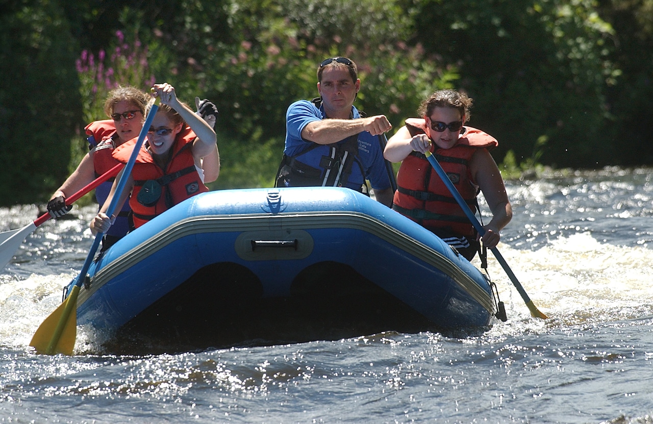
Photo
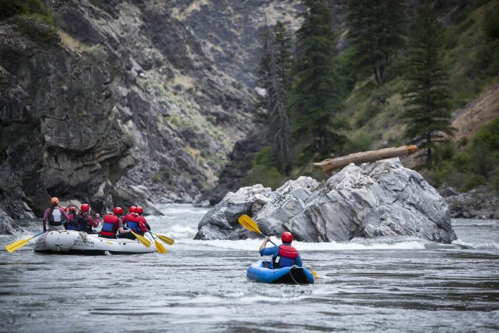
Photo courtesy of American Whitewater
Description
Take Out rapid marks the end of the Kaaterskill Creek run, situated just before the confluence with a larger waterway. The rapid features scattered boulder gardens and potential for pin hazards, requiring precise boat positioning and careful route selection. Paddlers should scout thoroughly and be prepared for potential wood and shifting underwater obstacles, especially during lower water levels.
Location
Other Rapids on This Run (1)
View Full Run
Palenville to High Falls
Kaaterskill Creek
II-III
9.0 mi
Current Conditions
5-Day Forecast
Whitewater data from
American Whitewater
American Whitewater