Gauge Conditions
Runnable: 280.0 – 1,000.0 CFS
The gage is 22 miles from the Pithole Basin, but should correlate better than the Oil Creek gage because the drainage basin is the same size. Just check AccuWe
Data from American Whitewater & USGS
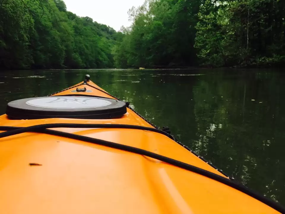
Photo

Photo courtesy of American Whitewater
Description
Take Out rapid on Pithole Creek presents an undefined challenge due to limited documented information. While specific details are scarce, paddlers should approach with caution and scout thoroughly, as the rapid's characteristics and potential hazards are not well-established. Local beta and current river conditions are critical for safe navigation.
Location
Other Rapids on This Run (1)
View Full Run
Pithole to Oleopolis
Pithole Creek
III
6.7 mi
Current Conditions
5-Day Forecast
Whitewater data from
American Whitewater
American Whitewater