Gauge Conditions
Runnable: ? – ? CFS
Approximate - nearest available gauge. Use as general reference only.
Data from American Whitewater & USGS
Photo
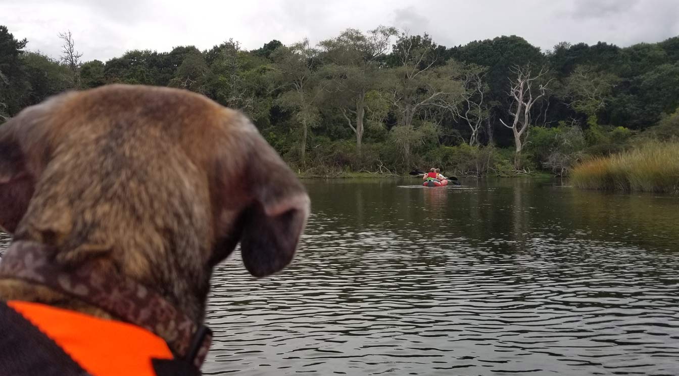
Photo courtesy of American Whitewater
Description
Take Out rapid serves as the terminus point for this river section, marking the transition from river to lake with potentially complex hydraulics. Paddlers should be prepared for potential shifting water dynamics and potential obstacles near the takeout zone, though specific detailed information about precise technical challenges is limited for this location.
Location
Other Rapids on This Run (1)

View Full Run
Pleasant River Lake to Columbia Falls
Pleasant (Pleasant Bay trib)
I-III
33.6 mi
Current Conditions
5-Day Forecast
Whitewater data from
American Whitewater
American Whitewater