Gauge Conditions
Runnable: ? – ? CFS
Approximate - nearest available gauge. Use as general reference only.
Data from American Whitewater & USGS
Photo

Photo courtesy of American Whitewater
Description
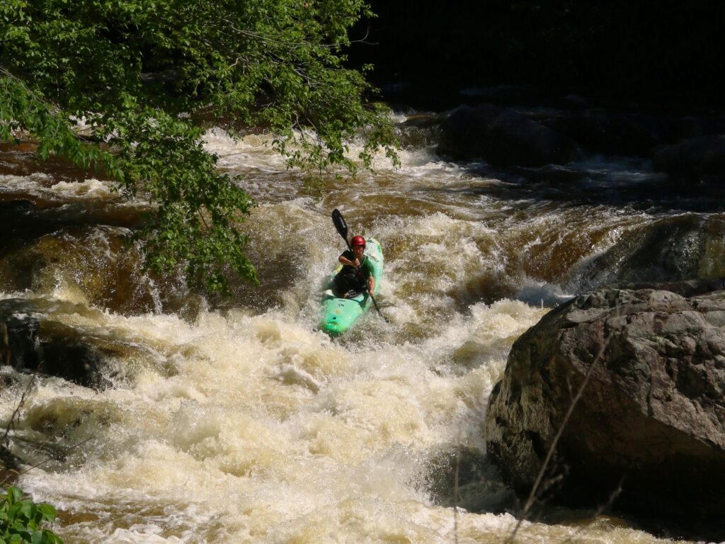
Take Out marks the end of the Ripton to E. Middlebury run, characterized by a narrow channel with potential for pinning hazards and submerged debris. Paddlers should carefully scout the exit and be prepared for potential strainers or tight maneuvering, especially during lower water levels when rocks and obstructions become more prominent.
Location
Other Rapids on This Run (1)
View Full Run
Ripton to E. Middlebury
Middlebury River
V
2.7 mi
Current Conditions
5-Day Forecast
Whitewater data from
American Whitewater
American Whitewater