Take-out
ME
Take Out
Mattawamkeag, W. Branch - Route 11 15 mi to Island Falls, 24 mi to Haynesville (ME)
Gauge Conditions
Runnable: ? – ? CFS
Approximate - nearest available gauge. Use as general reference only.
Data from American Whitewater & USGS
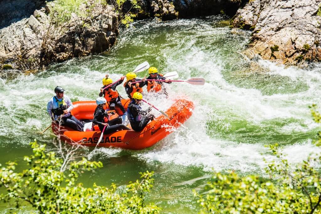
Photo
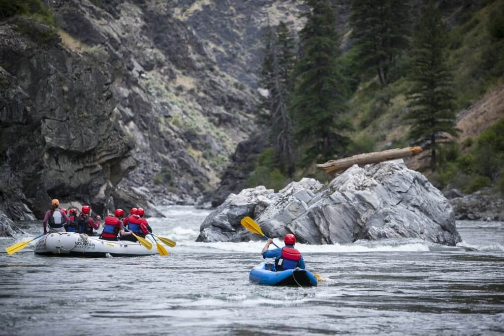
Photo courtesy of American Whitewater
Description
Take Out marks the end of a remote stretch of the Mattawamkeag's West Branch, signaling the transition point for paddlers completing this wilderness run. While specific details about the rapid itself are limited, its location near the takeout point suggests paddlers should remain alert for potential hazards or changes in water conditions as they approach the end of their journey.
Location
Other Rapids on This Run (1)
View Full Run
Route 11 15 mi to Island Falls, 24 mi to Haynesville
Mattawamkeag, W. Branch
I-II
41.2 mi
Current Conditions
5-Day Forecast
Whitewater data from
American Whitewater
American Whitewater