Gauge Conditions
Data from American Whitewater & USGS
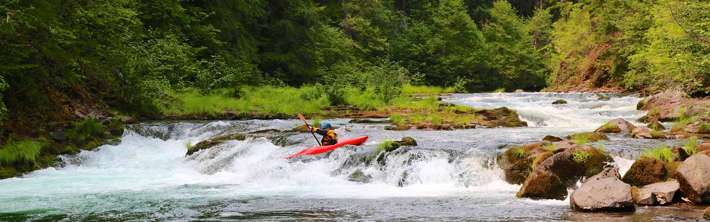
Photo

Photo courtesy of American Whitewater
Description
Take Out rapid marks the end of this Tyger River run, characterized by a straightforward but potentially shallow approach requiring careful navigation around scattered rock formations. While not technically complex, paddlers should be attentive to water levels and potential debris, as the rapid serves as the natural exit point for this river section.
Location
Other Rapids on This Run (1)
View Full Run
Route 231 to Route 113
Tyger, North
II(III)
7.2 mi
Current Conditions
5-Day Forecast
Whitewater data from
American Whitewater
American Whitewater