Gauge Conditions
Runnable: 479.0 – 10,000.0 CFS
Upper limit for best boatability uncertain. Please help your fellow boaters with a comment or report.
Data from American Whitewater & USGS
Photo
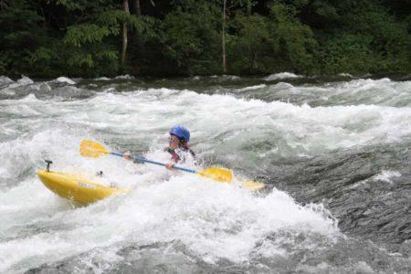
Photo courtesy of American Whitewater
Description
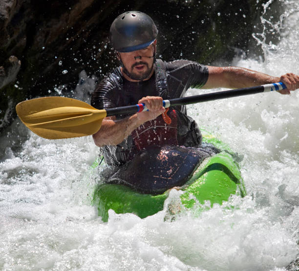
Take Out is a minimal rapid near the exit point of this river section, marked by scattered rocks and a moderate gradient that can create swirling currents during higher water levels. Paddlers should be aware of potential debris and maintain situational awareness as they approach the take-out point, watching for submerged obstacles and potential pinning hazards.
Location
Other Rapids on This Run (1)
View Full Run
Route 35 Bridge to SC Route 34 on Broad
Tyger
I-II
12.2 mi
Current Conditions
5-Day Forecast
Whitewater data from
American Whitewater
American Whitewater