Gauge Conditions
Runnable: ? – ? CFS
Approximate - nearest available gauge. Use as general reference only.
Data from American Whitewater & USGS
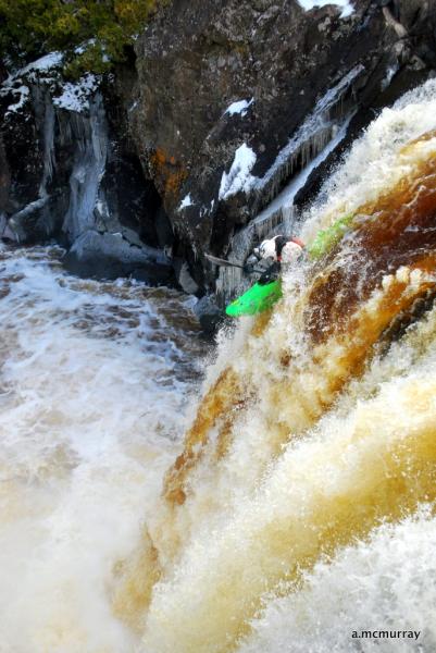
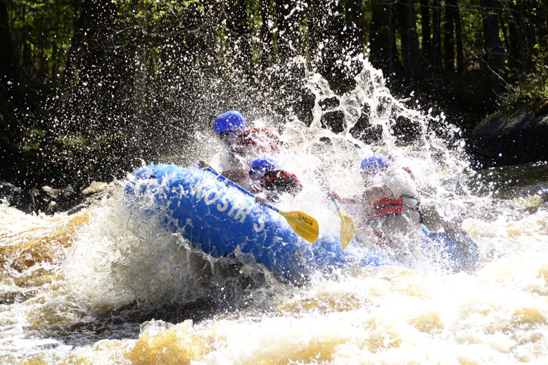
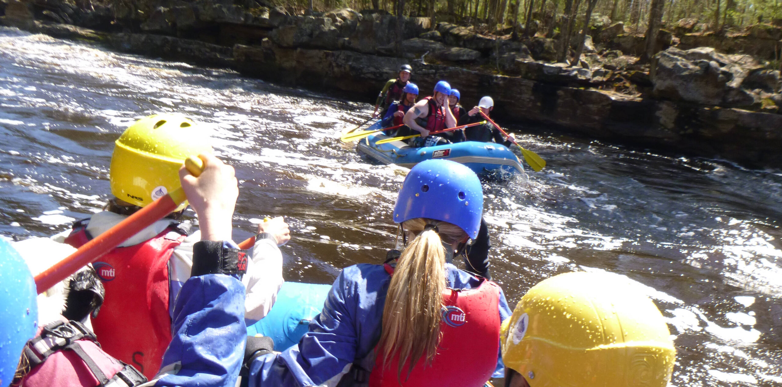
Photo

Photo courtesy of American Whitewater
Description
Take Out rapid represents the conclusion of the West Branch Baptism River run, featuring a narrow channel with potential for tight maneuvering between rock formations. Paddlers should be alert for potential pinning hazards and assess water levels carefully, as the rapid's character can change significantly with flow variations.
Location


View Full Run
Rte. 1 (4.5 miles NW of Finland) to Finland (5.4 miles)
Baptism, W.Br.
II-III
5.3 mi
Current Conditions
5-Day Forecast
Whitewater data from
American Whitewater
American Whitewater