Gauge Conditions
Runnable: ? – ? CFS
Approximate - nearest available gauge. Use as general reference only.
Data from American Whitewater & USGS
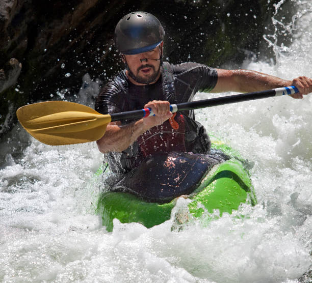
Photo
Photo courtesy of American Whitewater
Description
Take Out rapid marks the end of the Savage Creek run, situated in a tight, rocky gorge with limited exit options. Paddlers should be prepared for potential pinning hazards and limited scouting opportunities due to the confined nature of the canyon. Precise navigation is critical, as the rapid's exit can be obstructed by debris and requires careful boat placement.
Location
Other Rapids on This Run (1)
View Full Run
Savage Gulf
Savage Creek
I
5.7 mi
Current Conditions
5-Day Forecast
Whitewater data from
American Whitewater
American Whitewater