Take-out
NY
Take Out
Potic Creek - Schoharie Turnpike Bridge to Sandy Plains Rd (or to Catskill Creek) (NY)
Gauge Conditions
Data from American Whitewater & USGS
Photo
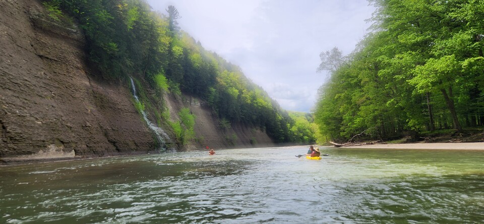
Photo courtesy of American Whitewater
Description
Take Out is a transitional rapid marking the end of this Potic Creek run, characterized by a mix of scattered rocks and potential wood hazards requiring careful navigation. Paddlers should be prepared for potential strainers or partially submerged debris, and scout carefully if water levels are low or unfamiliar, as the rapid serves as a critical exit point before the confluence with Catskill Creek.
Location
Other Rapids on This Run (1)

View Full Run
Schoharie Turnpike Bridge to Sandy Plains Rd (or to Catskill Creek)
Potic Creek
II-V
6.3 mi
Current Conditions
5-Day Forecast
Whitewater data from
American Whitewater
American Whitewater