Take-out
VT
Take Out - Searsburg Reservoir
Deerfield, E. Branch - Somerset Reservoir to Searsburg Reservoir (VT)
Gauge Conditions
Runnable: ? – ? CFS
Approximate - nearest available gauge. Use as general reference only.
Data from American Whitewater & USGS
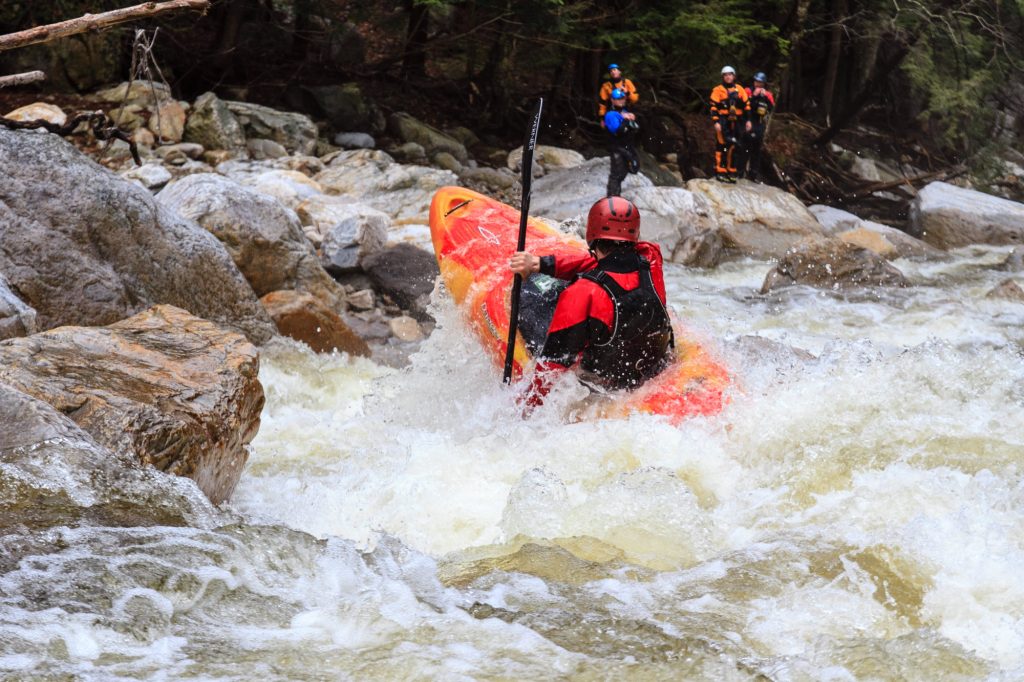
Photo
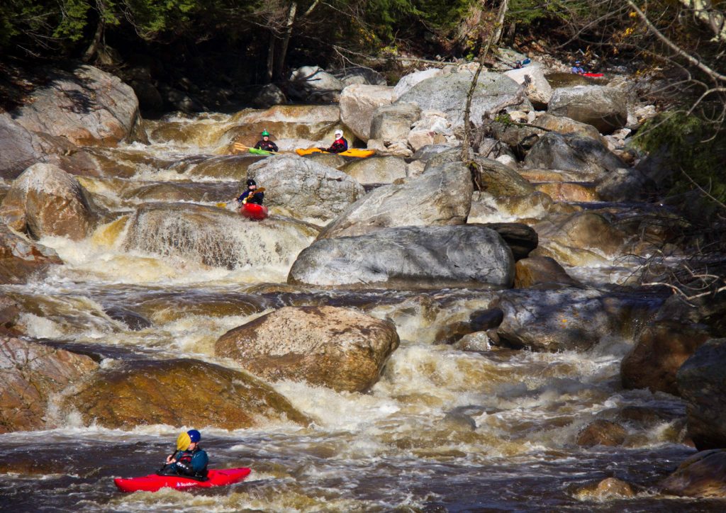
Photo courtesy of American Whitewater
Description
The take-out at Searsburg Reservoir marks the end of a remote and challenging section of the East Branch Deerfield River, requiring careful navigation through potential flatwater and potential portage conditions. Paddlers should be prepared for potential access challenges and ensure they have a clear exit strategy, as the reservoir environment can differ significantly from upstream whitewater conditions.
Location
Other Rapids on This Run (1)
View Full Run
Somerset Reservoir to Searsburg Reservoir
Deerfield, E. Branch
I-II
6.8 mi
Current Conditions
5-Day Forecast
Whitewater data from
American Whitewater
American Whitewater