Gauge Conditions
Runnable: ? – ? CFS
Approximate - nearest available gauge. Use as general reference only.
Data from American Whitewater & USGS
Photo

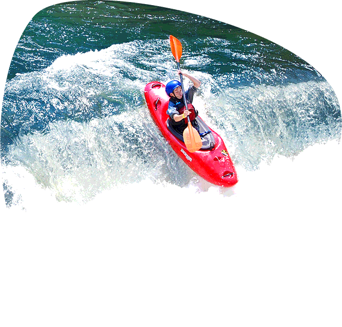
Photo courtesy of American Whitewater
Description
Take Out is a transition rapid marking the end of the Moccasin Creek run, characterized by potential shallow rock gardens and narrowing channel width that can create unpredictable water movement. Paddlers should be prepared for potential strainers or debris near the exit point and maintain situational awareness during the final stretch of the descent. While specific difficulty is unclassified, careful navigation and attentiveness to local conditions are recommended.
Location
Other Rapids on This Run (1)
View Full Run
Shut-In Gap Road to Piney River
Moccasin Creek
I-II
3.5 mi
Current Conditions
5-Day Forecast
Whitewater data from
American Whitewater
American Whitewater