Gauge Conditions
Runnable: 500.0 – 10,000.0 CFS
Flow range for best boatability uncertain. Please help your fellow boaters with a comment or report.
Data from American Whitewater & USGS
Photo

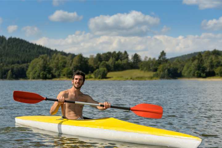
Photo courtesy of American Whitewater
Description
Take Out marks the end of the Talladega Creek run, featuring a complex exit point with potential debris and shifting hydraulics that demand precise maneuvering. Paddlers should be alert for submerged obstacles and potential Class II-III water conditions near the takeout zone, with careful boat positioning critical to safely exiting the river at the Waldo Bridge access point.
Location
Other Rapids on This Run (1)
View Full Run
Skyway Mtwy to Waldo Bridge, State Rte 77
Talladega Creek
III
7.6 mi
Current Conditions
5-Day Forecast
Whitewater data from
American Whitewater
American Whitewater