Gauge Conditions
Runnable: ? – ? CFS
Approximate - nearest available gauge. Use as general reference only.
Data from American Whitewater & USGS
Photo
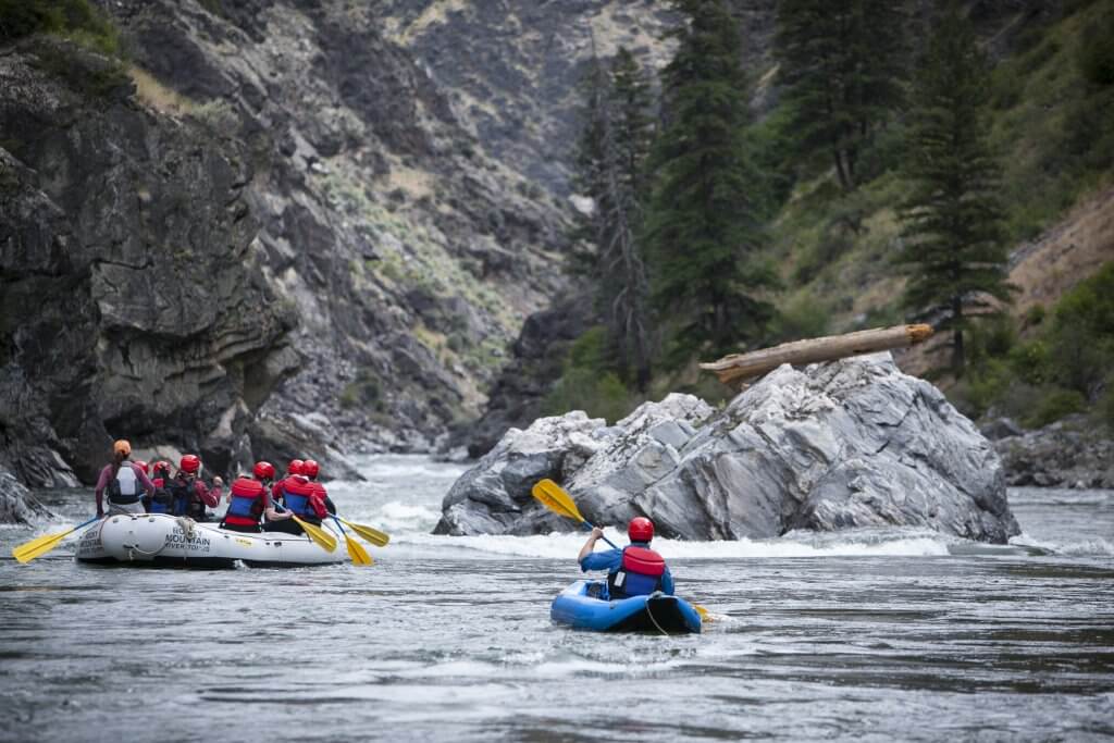
Photo courtesy of American Whitewater
Description
Take Out rapid on the East Branch Mattawamkeag is a transition point marking the end of this river section, characterized by scattered boulder gardens and potential shallow water conditions. Paddlers should be prepared to navigate carefully through potential rock obstacles and be mindful of water levels, which can significantly impact route selection and difficulty.
Location
Other Rapids on This Run (1)
View Full Run
Smyrna Mills to Haynesville
Mattawamkeag, E. Branch
I-II
28.1 mi
Current Conditions
5-Day Forecast
Whitewater data from
American Whitewater
American Whitewater