Gauge Conditions
Data from American Whitewater & USGS
Photo
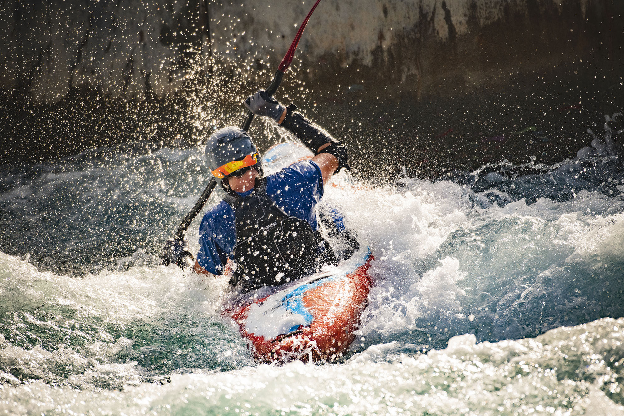
Photo courtesy of American Whitewater
Description
Take Out marks the terminus of this challenging creek section, situated at the confluence of the South and North Forks. While difficulty rating is unclear, paddlers should be prepared for potential hazards at the forest service bridge takeout, including potential strainers, tight maneuvering, and potential shallow or rocky exit points requiring precise boat placement and careful approach.
Location
Other Rapids on This Run (1)
View Full Run
South / North Fork Confluence to Forest Service bridge
Winberry Creek
III+(V)
4.9 mi
Current Conditions
5-Day Forecast
Whitewater data from
American Whitewater
American Whitewater