Gauge Conditions
Runnable: ? – ? CFS
Approximate - nearest available gauge. Use as general reference only.
Data from American Whitewater & USGS
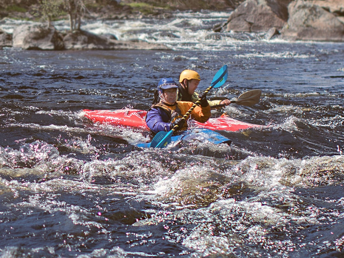
Photo
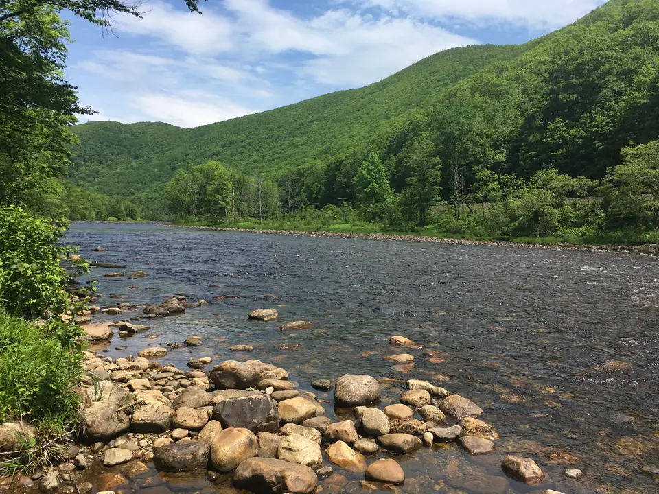
Photo courtesy of American Whitewater
Description
Take Out is a minimal rapid at the conclusion of the Dunbar Brook run, marked primarily by the transition from the brook to the Deerfield River confluence. Paddlers should be prepared for potential debris and changing water dynamics as they exit the brook section, with careful attention to river conditions and potential takeout location near South Road.
Location
Other Rapids on This Run (1)
View Full Run
South Road to Deerfield River
Dunbar Brook
V
2.7 mi
Current Conditions
5-Day Forecast
Whitewater data from
American Whitewater
American Whitewater