Take-out
MA
Take Out
Westfield River, Dead Branch - South Street to Indian Hollow Rd. Chesterfield (MA)
Gauge Conditions
Runnable: 350.0 – 2,000.0 CFS
Gauge is on a nearby river, and range estimates are VERY UNEDUCATED GUESSES. Please report your runs or email me if you have better beta! The Mill River has
Data from American Whitewater & USGS
Photo
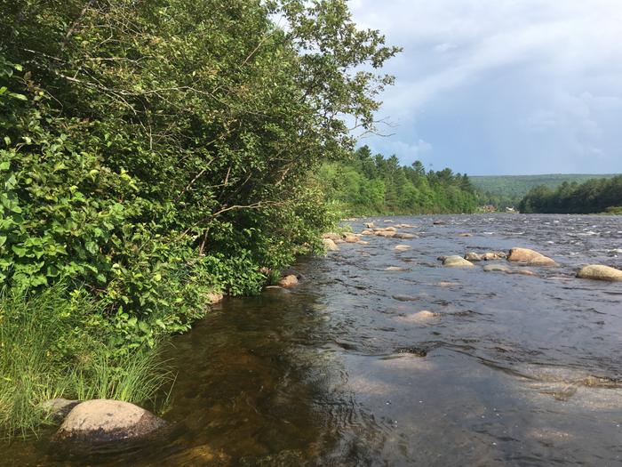
Photo courtesy of American Whitewater
Description
Take Out rapid on the Dead Branch of the Westfield River is located at the end of a challenging section, marking the conclusion of a run through tight, technical terrain. While specifics about the rapid's features are limited, paddlers should be prepared for potential obstacles and a potential takeout logistics that require careful navigation at the South Street to Indian Hollow Road segment.
Location
Other Rapids on This Run (2)
View Full Run
South Street to Indian Hollow Rd. Chesterfield
Westfield River, Dead Branch
IV(V)
3.3 mi
Current Conditions
5-Day Forecast
Whitewater data from
American Whitewater
American Whitewater