Gauge Conditions
Runnable: ? – ? CFS
Approximate - nearest available gauge. Use as general reference only.
Data from American Whitewater & USGS
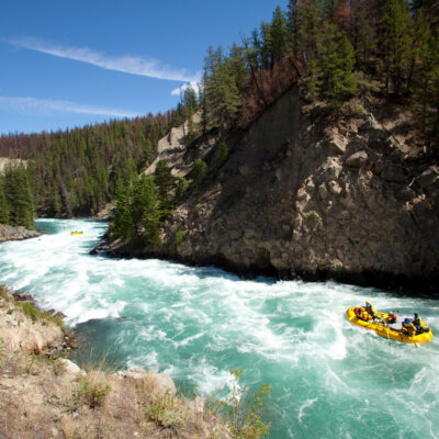
Photo
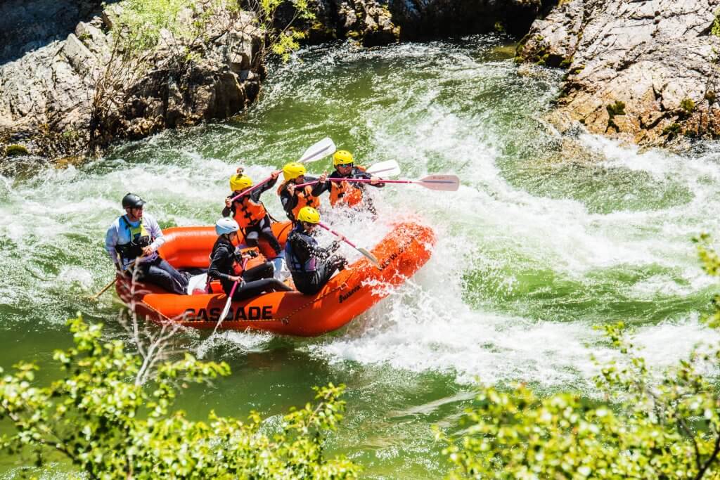
Photo courtesy of American Whitewater
Description
Take Out rapid is a low-gradient section with minimal technical challenges, primarily characterized by its location near the Caesar Creek Trail exit point. While specifics about specific hazards are limited, paddlers should be prepared for potential debris or shallow sections typical of small Ohio creek runs. Local knowledge and current water conditions will be critical for safe navigation.
Location
Other Rapids on This Run (1)
View Full Run
Spillway to Caesar Creek Trail
Caesar Creek, O'Neall Fork
III
0.7 mi
Current Conditions
5-Day Forecast
Whitewater data from
American Whitewater
American Whitewater