Gauge Conditions
Runnable: ? – ? CFS
Approximate - nearest available gauge. Use as general reference only.
Data from American Whitewater & USGS
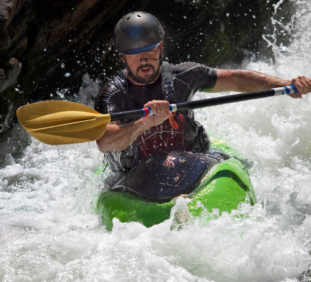
Photo
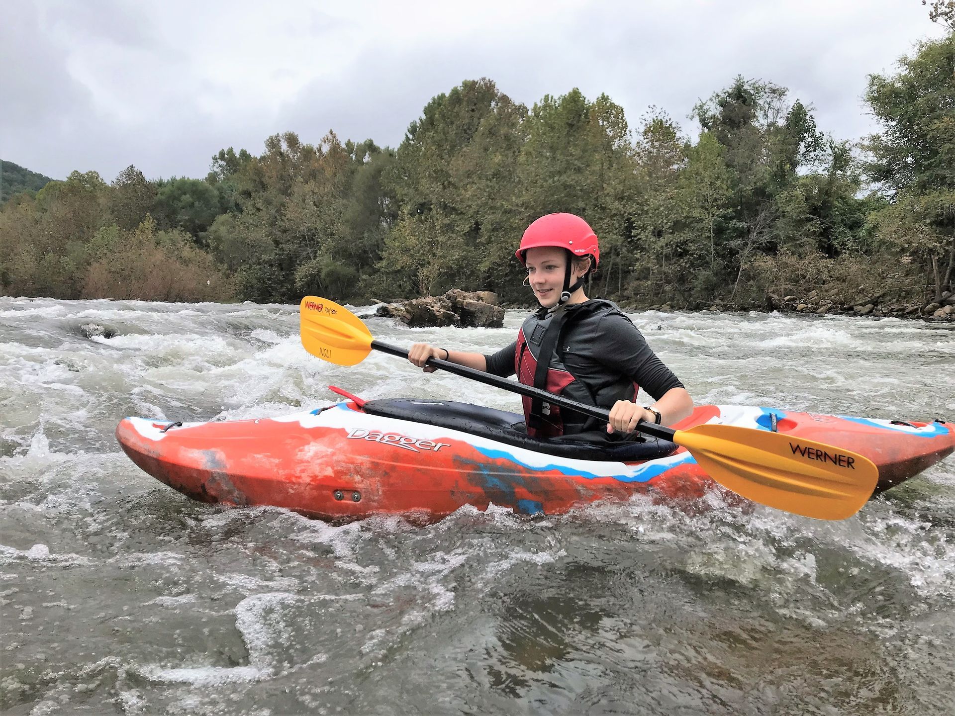
Photo courtesy of American Whitewater
Description
Take Out is the final rapid marking the end of the Squire Creek run, characterized by a tight exit through rocky constriction that requires precise maneuvering. Paddlers should be prepared for potential obstacles and careful boat placement to successfully navigate the narrow takeout channel, which can become more challenging at different water levels.
Location
Other Rapids on This Run (1)
View Full Run
Squire Creek Road to dowstream
Squire Creek
V
2.8 mi
Current Conditions
5-Day Forecast
Whitewater data from
American Whitewater
American Whitewater