Gauge Conditions
Runnable: ? – ? CFS
Approximate - nearest available gauge. Use as general reference only.
Data from American Whitewater & USGS
Photo
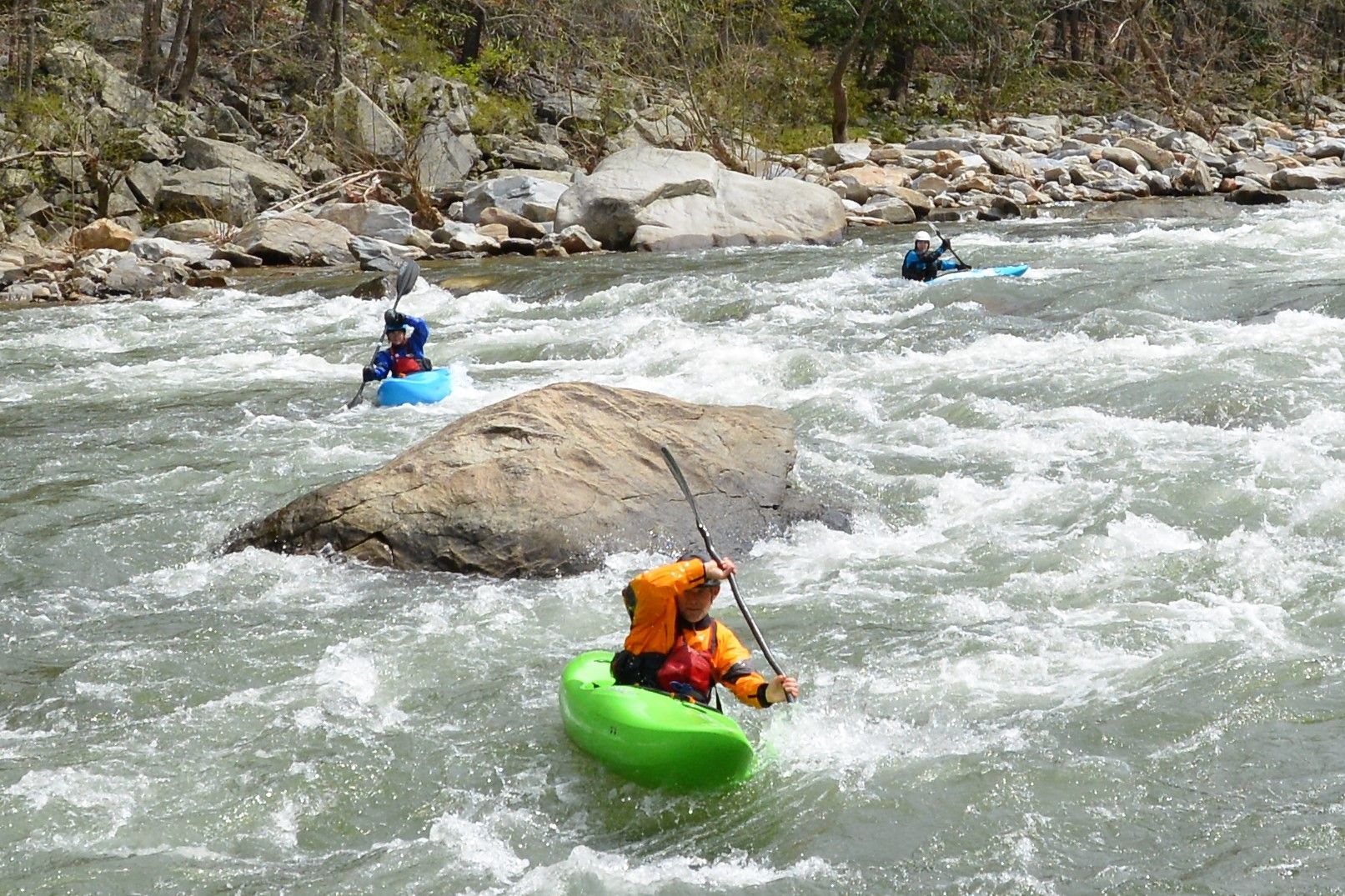
Photo courtesy of American Whitewater
Description
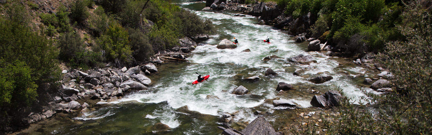
Take Out marks the end of this challenging Marsh Creek section, signaling the transition to the Middle Fork Salmon. While specific details are limited, paddlers should be prepared for potential hidden obstacles or unpredictable water conditions typical of remote Idaho mountain streams. Local beta and current river conditions are critical for safe passage.
Location
Other Rapids on This Run (1)
View Full Run
State Highway 21 to Middle Fork Salmon
Marsh Creek
III+
18.8 mi
Current Conditions
5-Day Forecast
Whitewater data from
American Whitewater
American Whitewater