Gauge Conditions
Runnable: ? – ? CFS
Approximate - nearest available gauge. Use as general reference only.
Data from American Whitewater & USGS
Photo

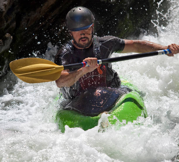
Photo courtesy of American Whitewater
Description
Take Out rapid on the Kadunce River is a short, technical descent near the end of the run that requires precise navigation through tight rocky channels. Paddlers must carefully maneuver between exposed boulders and potential undercut rocks, with limited margin for error in this confined section that can quickly develop dangerous hydraulics at different water levels.
Location
Other Rapids on This Run (1)
View Full Run
Superior Hiking Trail footbridge to Hwy 61 (0.5 mile)
Kadunce
IV-V
0.9 mi
Current Conditions
5-Day Forecast
Whitewater data from
American Whitewater
American Whitewater