Gauge Conditions
Runnable: ? – ? CFS
Approximate - nearest available gauge. Use as general reference only.
Data from American Whitewater & USGS
Photo
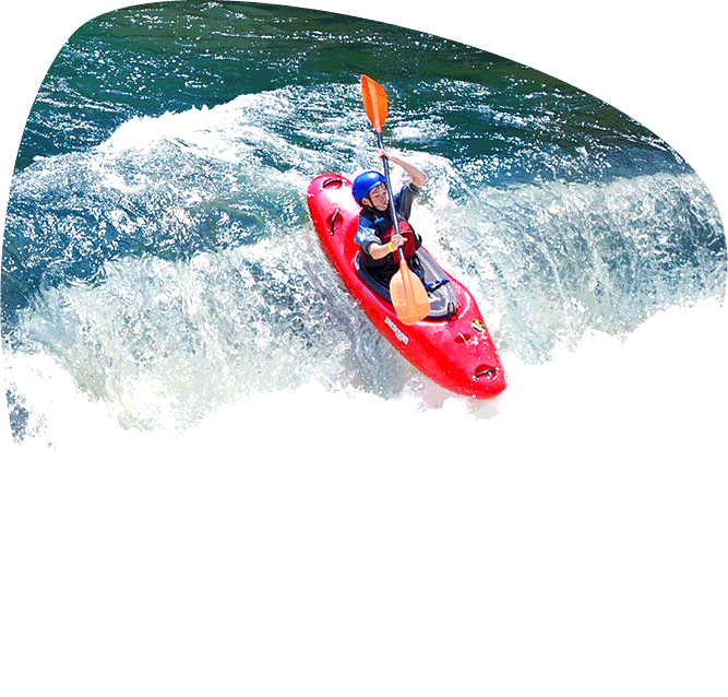
Photo courtesy of American Whitewater
Description
Take Out rapid on Paine Creek offers a challenging transition near the confluence with Richland Creek, requiring precise navigation through a potential rock garden and potential undercut hazards. While specific difficulty rating is uncertain, paddlers should be prepared for potential technical maneuvering and potential shallow or obstructed water conditions during lower flow periods.
Location
Other Rapids on This Run (1)

View Full Run
to Richland Creek
Paine Creek
I
3.2 mi
Current Conditions
5-Day Forecast
Whitewater data from
American Whitewater
American Whitewater