Gauge Conditions
Runnable: ? – ? CFS
Approximate - nearest available gauge. Use as general reference only.
Data from American Whitewater & USGS
Photo
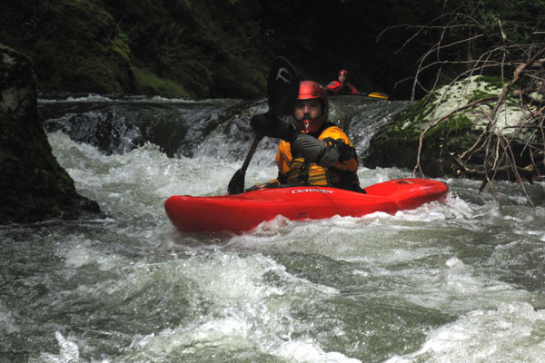
Photo courtesy of American Whitewater
Description
The Take Out rapid on the Wilson River's upper reaches presents a transition point between sections, marking the end of a challenging stretch before the Devils Lake Fork confluence. While specific details are limited, paddlers should be prepared for potential navigational challenges and assess current water conditions carefully before attempting this section.
Location
Other Rapids on This Run (1)
View Full Run
Upper Reaches to Devils Lake Fork
Wilson, South Fork
II(IV)
7.7 mi
Current Conditions
5-Day Forecast
Whitewater data from
American Whitewater
American Whitewater