Gauge Conditions
Runnable: ? – ? CFS
Approximate - nearest available gauge. Use as general reference only.
Data from American Whitewater & USGS
Photo
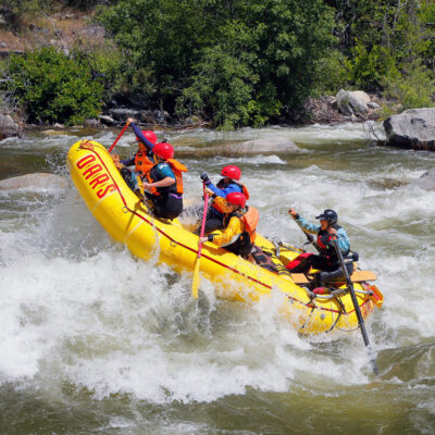
Photo courtesy of American Whitewater
Description
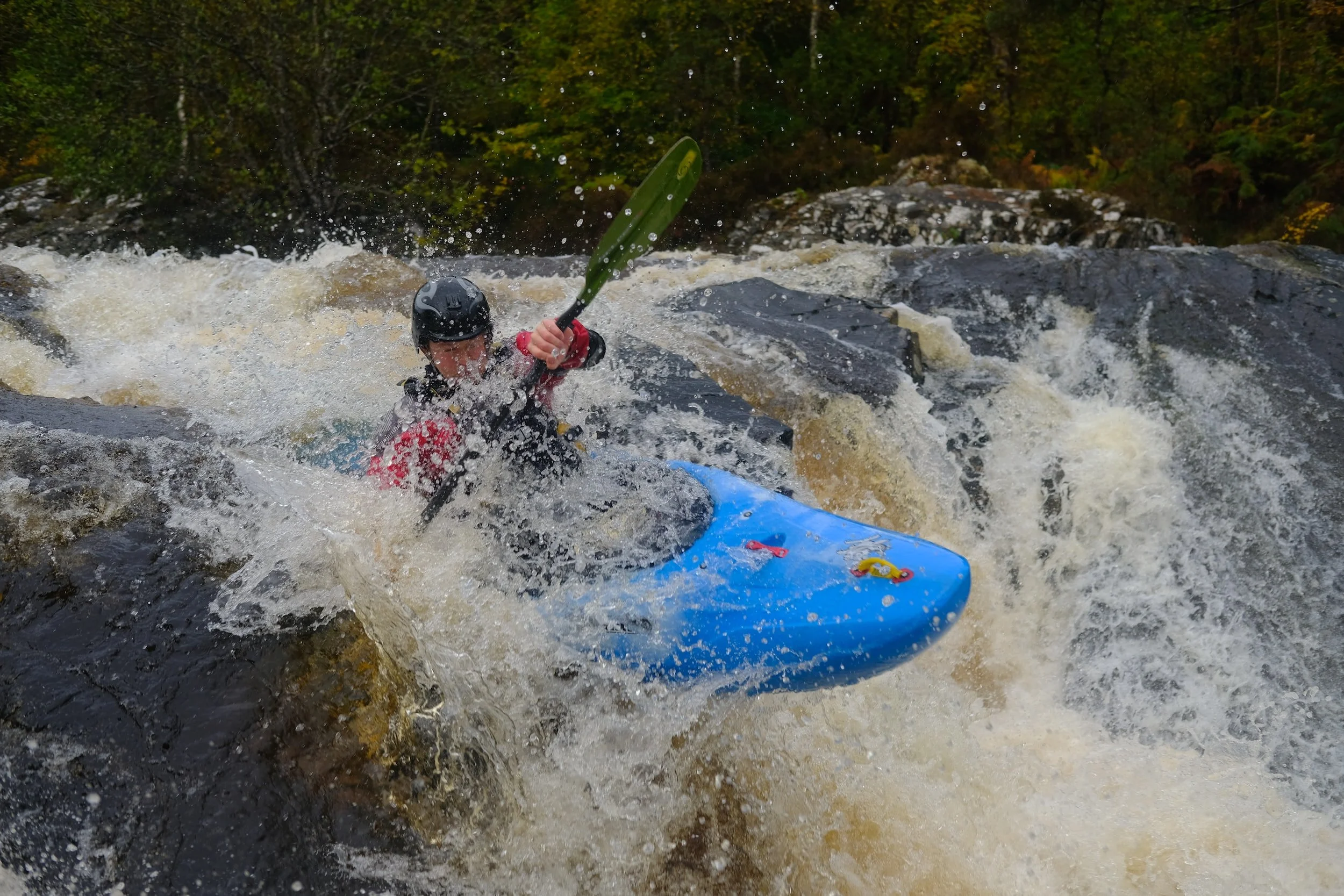
Take Out rapid marks the end of the Beegum Creek run, featuring a technical exit through a narrow boulder garden that requires precise boat placement and careful maneuvering. Paddlers should be alert for potential undercuts and shifting rocks, particularly at lower water levels, and scout the rapid carefully to identify the cleanest line through the constricted channel.
Location
Other Rapids on This Run (1)
View Full Run
USFS Campground to State Highway 36
Beegum Creek
IV-V(V+)
8.0 mi
Current Conditions
5-Day Forecast
Whitewater data from
American Whitewater
American Whitewater