Gauge Conditions
Runnable: 200.0 – 10,000.0 CFS
Upper limit for best boatability uncertain. Please help your fellow boaters with a comment or report.
Data from American Whitewater & USGS
Photo
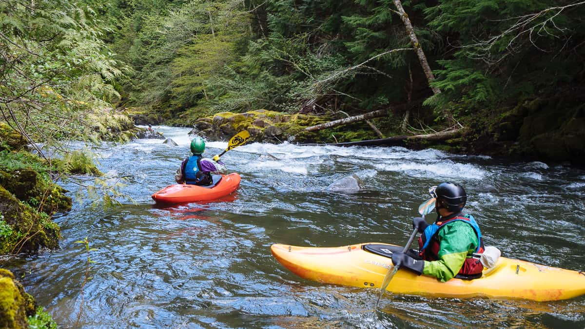
Photo courtesy of American Whitewater
Description
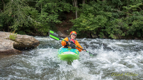
Take Out rapid on the North Fork Mayo is primarily a transition point between river sections, marked by a takeout area near the Route 629 bridge. While not characterized by significant technical challenges, paddlers should be aware of potential debris, shallow areas, and potential access difficulties depending on water levels and seasonal conditions.
Location
Other Rapids on This Run (1)
View Full Run
Va Route 629 to NC Route 1359
Mayo, N. Fork
II-III
3.4 mi
Current Conditions
5-Day Forecast
Whitewater data from
American Whitewater
American Whitewater