Gauge Conditions
Runnable: 200.0 – 3,000.0 CFS
Best boatable flows uncertain. Help out by adding a comment or report.
Data from American Whitewater & USGS
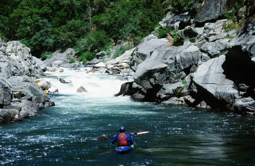
Photo
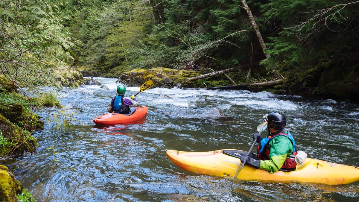
Photo courtesy of American Whitewater
Description
Take Out rapid marks the conclusion of the Mayo River's South Fork run, characterized by a relatively straightforward descent with minimal technical challenges. Paddlers should remain alert for potential submerged rocks and debris, particularly during lower water levels, and carefully navigate the transition to the takeout point near VA Route 695. While not classified with a specific difficulty rating, standard river safety protocols and situational awareness are recommended.
Location
Other Rapids on This Run (1)
View Full Run
VA Route 695 to Mayo River along NC Route 1359
Mayo, S. Fork
I-III
3.9 mi
Current Conditions
5-Day Forecast
Whitewater data from
American Whitewater
American Whitewater