Gauge Conditions
Runnable: ? – ? CFS
Approximate - nearest available gauge. Use as general reference only.
Data from American Whitewater & USGS
Photo
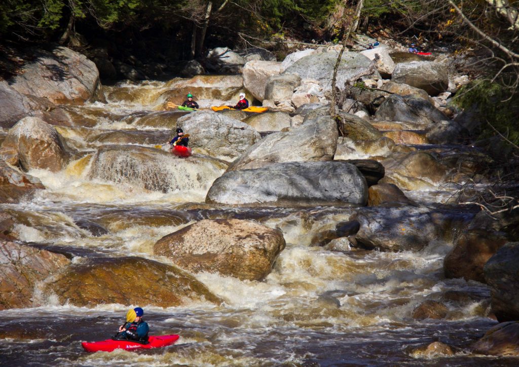
Photo courtesy of American Whitewater
Description
Take Out marks the end of this river section, serving as a transition point for paddlers exiting the Sheepscot's West Branch. While specific details about the rapid's characteristics are limited, boaters should be prepared for potential hazards typical of Maine's river environments, such as submerged rocks or variable water levels.
Location
Other Rapids on This Run (1)

View Full Run
Weeks Mills to Sheepscot River
Sheepscot, W. Branch
I-II
12.3 mi
Current Conditions
5-Day Forecast
Whitewater data from
American Whitewater
American Whitewater