Gauge Conditions
Data from American Whitewater & USGS
Photo
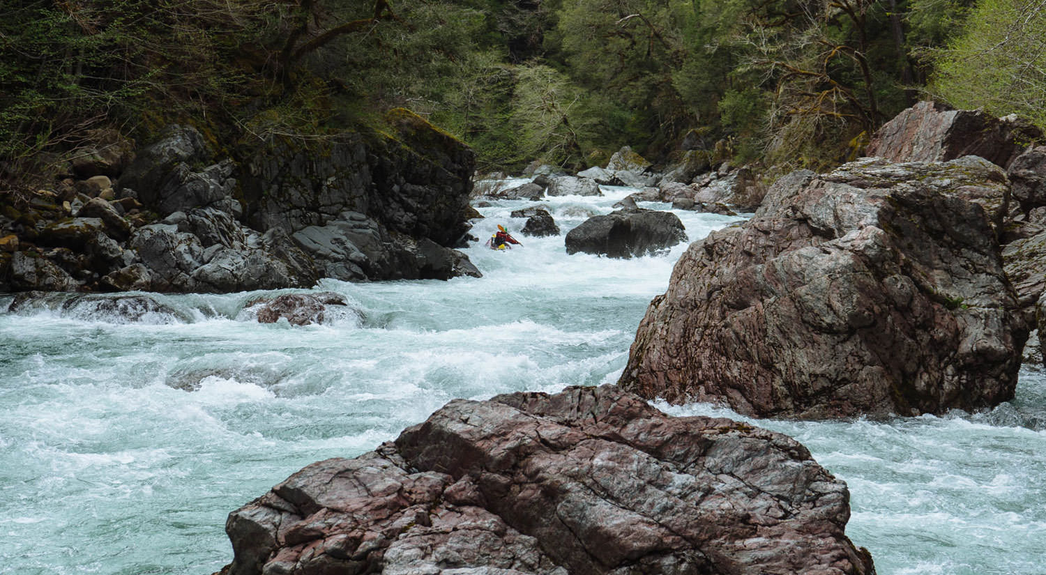
Photo courtesy of American Whitewater
Description
Take Out marks the end of this challenging section of the Chetco, requiring precise navigation through a constricted channel with potential undercut rocks and variable water levels. Paddlers should scout carefully and be prepared for quick maneuvering, as the rapid's exit can create unexpected hydraulics depending on flow conditions.
Location
Other Rapids on This Run (1)
View Full Run
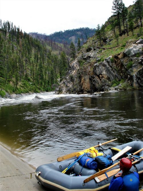
West Coon Creek to Chetco
Chetco, South Fork
IV(V)
5.7 mi
Current Conditions
5-Day Forecast
Whitewater data from
American Whitewater
American Whitewater