Gauge Conditions
Runnable: ? – ? CFS
Approximate - nearest available gauge. Use as general reference only.
Data from American Whitewater & USGS
Photo

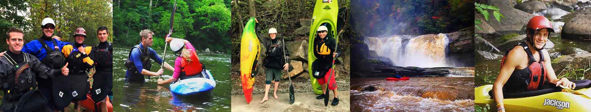
Photo courtesy of American Whitewater
Description
Take Out rapid marks the end of the Woodcock Gulf run, featuring a technical exit through a narrow constriction with potential for pinning and boulder obstacles. Paddlers should carefully scout the bottom section for any debris or undercut rocks that could create hazardous conditions during low water levels. The rapid's name suggests it serves as a critical transition point for boaters exiting the creek section.
Location
Other Rapids on This Run (1)
View Full Run
Woodcock Gulf to Daus
Woodcock Creek
IV-V+
5.0 mi
Current Conditions
5-Day Forecast
Whitewater data from
American Whitewater
American Whitewater