Gauge Conditions
Runnable: ? – ? CFS
Approximate - nearest available gauge. Use as general reference only.
Data from American Whitewater & USGS
Photo
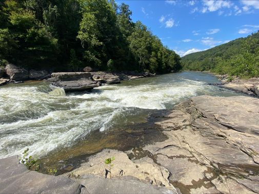
Photo courtesy of American Whitewater
Description
Take Out marks the termination point of the Laurel Creek whitewater section, characterized by its transition into the Tygart River. Limited information is available about specific features or difficulty, suggesting this may be a less-frequented or less-documented rapid that requires careful scouting and local knowledge before attempting.
Location
Other Rapids on This Run (1)

View Full Run
WV 38 to Tygart River
Laurel Creek (Tygart trib)
IV-V+
5.7 mi
Current Conditions
5-Day Forecast
Whitewater data from
American Whitewater
American Whitewater