How's Your
River
×
Explore
Explore Map
Water Bodies
Gauges
Access Sites
Tidal Stations
Whitewater
Pricing
Login
Sign Up
Hazard Warning:
Hazard information may be user-submitted and unverified. Conditions change frequently. Always scout rapids and obstacles yourself.
Whitewater
New York
Oatka Creek - Leroy to Fort Hill
TAKEOUT
Take-out
NY
TAKEOUT
Oatka Creek - Leroy to Fort Hill (NY)
Monitor this Rapid
Water Body
This Run
Map
Other Rapids
Gauge
Weather
Directions
Gauge Conditions
Oatka Creek at Garbutt NY
Downstream
Primary
Runnable: 800.0 – 3,500.0 CFS
Data from
American Whitewater
&
USGS
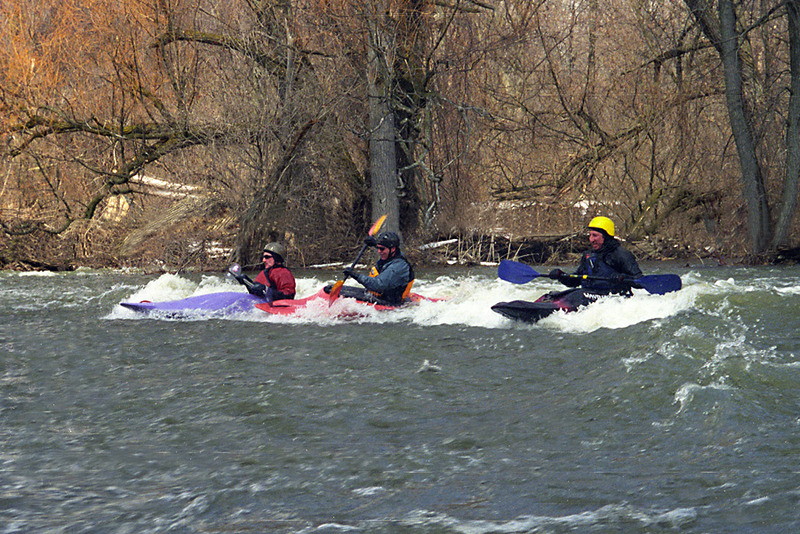
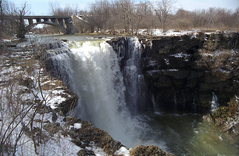
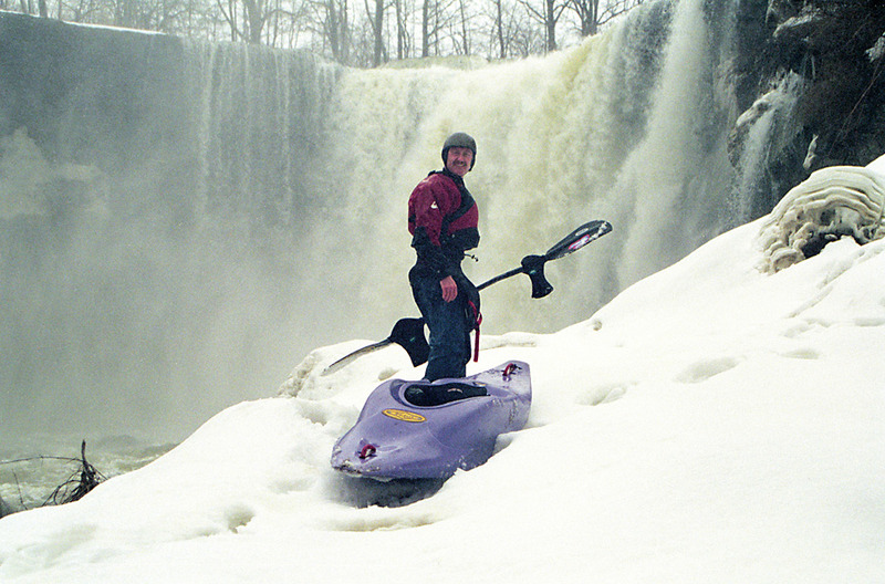
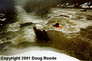
Description
Oatka Creek parallels Route 383 for several miles east of Fort Hill. Takeout anywhere along Route 383 that is convenient.
Location
Radar
Counties
Cell
Verizon
AT&T
T-Mobile
Dark
Satellite
Terrain
Other Rapids on This Run (6)
Rapid
PUTIN
0.0 mi
Playspot
III
SURF WAVE
0.5 mi
Rapid
III
CROCKER'S RAPID
2.0 mi
Waterfall
BUTTERMILK FALLS
2.5 mi
Portage
PORTAGE
2.6 mi
Rapid
III
THE GORGE
2.7 mi
Type
Take-out
Mile Marker
3.0 mi
Directions
Navigate
View Full Run
Leroy to Fort Hill
Oatka Creek
II-III
3.5 mi
Current Conditions
5-Day Forecast
Whitewater data from
American Whitewater
TAKEOUT