Gauge Conditions
Runnable: 400.0 – 3,000.0 CFS
Data from American Whitewater & USGS

View Full Run
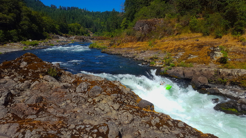
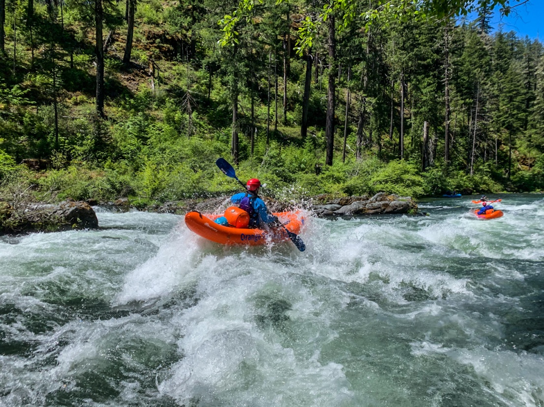
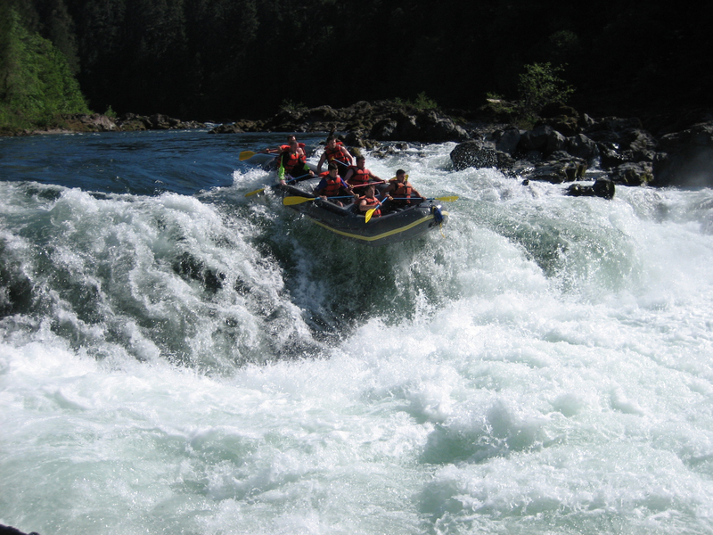
3. Baker Wayside to Idlelyd Park
Umpqua, North
III-IV+
6.0 mi
Current Conditions
5-Day Forecast
Whitewater data from
American Whitewater
American Whitewater