Upstream gradient
Cascade - A) The Grade/153 to Cascade River Road/157 (6.8 miles) (MN)
Gauge Conditions
Approximate - nearest available gauge. Use as general reference only.
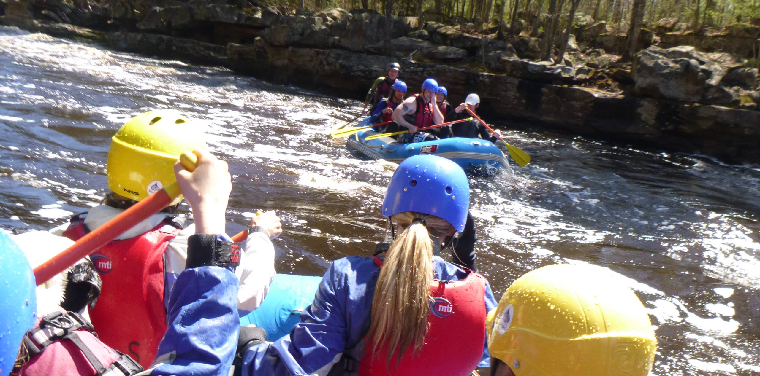
Photo
Description
(NOTE: All 'Rapid/Feature names' here are not proper names, but merely descriptions. Similarly, any/all difficulty ratings are merely conjecture at this point. If anyone knows of local names or boater names for the features or has seen/boated them, please help out your fellow boaters by providing more accurate names and ratings via "Add a Comment" button or via a report or (better yet) a photo or video of the feature(s) with your description.)
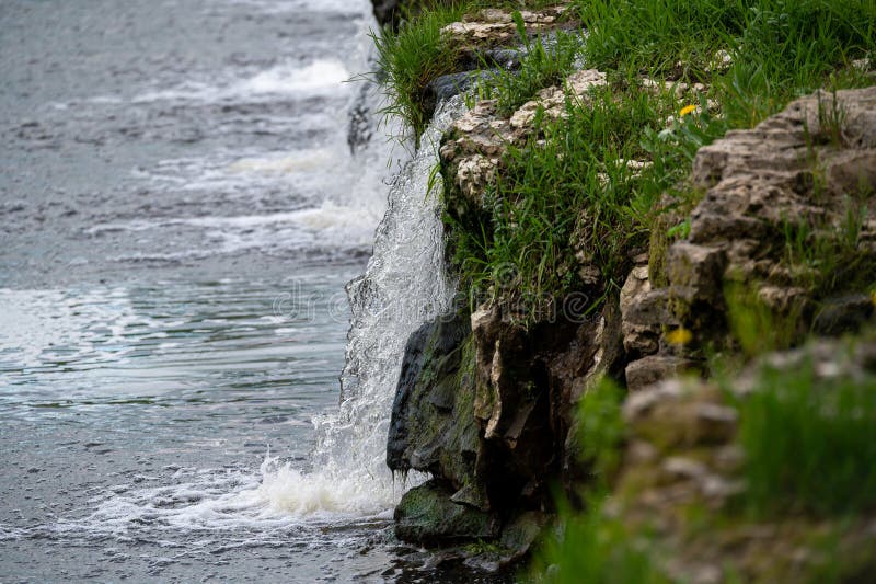
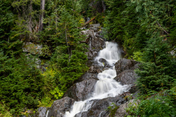
Upstream of the listed put-in, there is what appears to be a massive rocky prominence in the stream. There is something less than 20' of total drop (contour intervals of 20' are not clustered near together), but (via online aerial views) it looks like it could be interesting enough to check out. It appears the river should be slackwater enough to make paddling upriver (about 1/3rd of a mile) not too problematic to scout, portage upriver, and run this drop. Also, it appears there may be a minor additional drop upstream of the larger drop you'd first encounter.
Location

Current Conditions
5-Day Forecast
American Whitewater