Rapid
MI
USGS sampling site
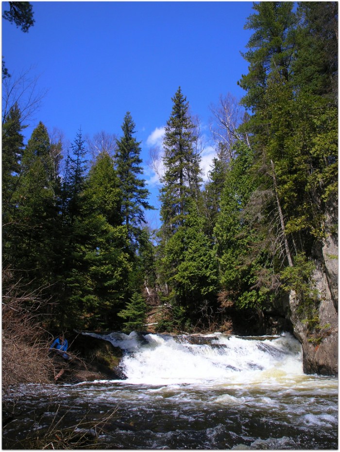
Carp (Marquette) - B) 'Upper': Carp Lake dam to CR553 (Marquette Mtn.) (2.88 miles) (MI)
Gauge Conditions
Runnable: 120.0 – 420.0 CFS
Likely too low for reasonable whitewater run. (We need your input! Add a comment about gauge reading and corresponding runnability/difficulty of this run.)
Data from American Whitewater & USGS
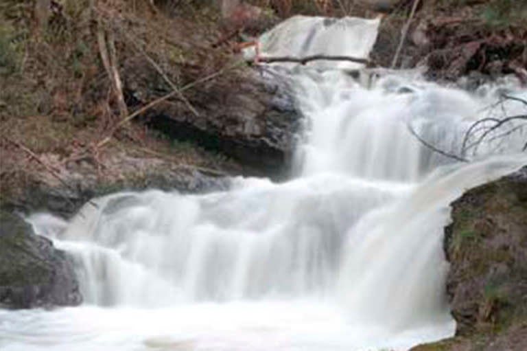
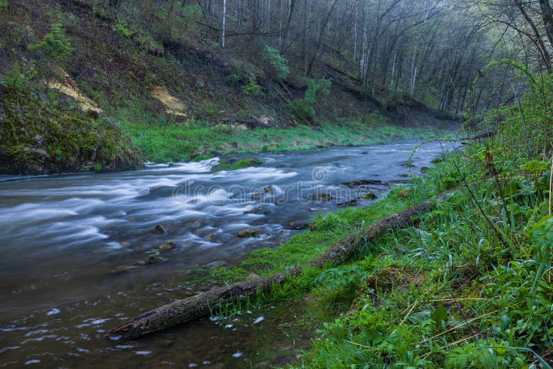
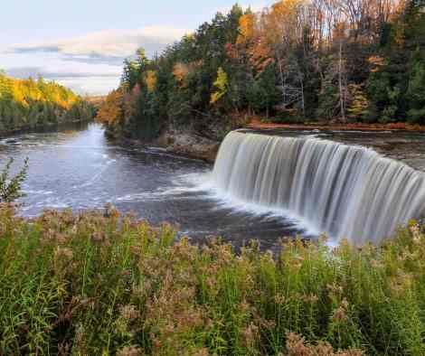
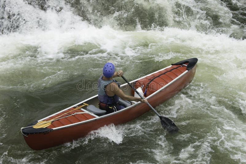
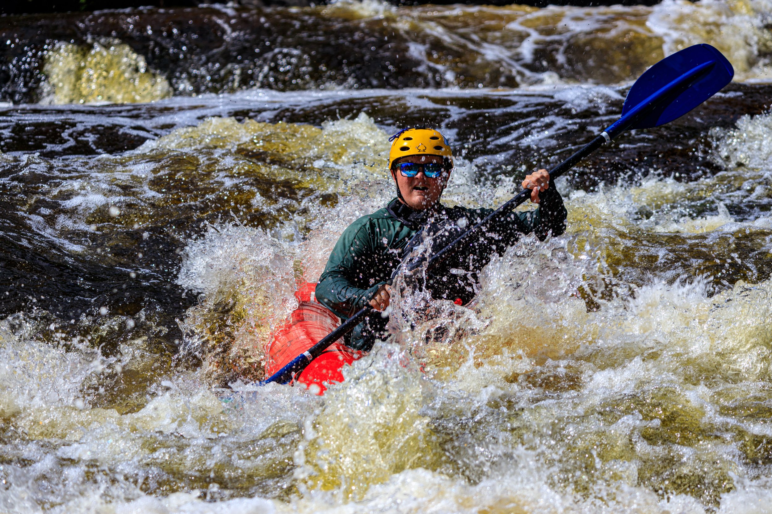
Photo
Photo courtesy of American Whitewater
Description
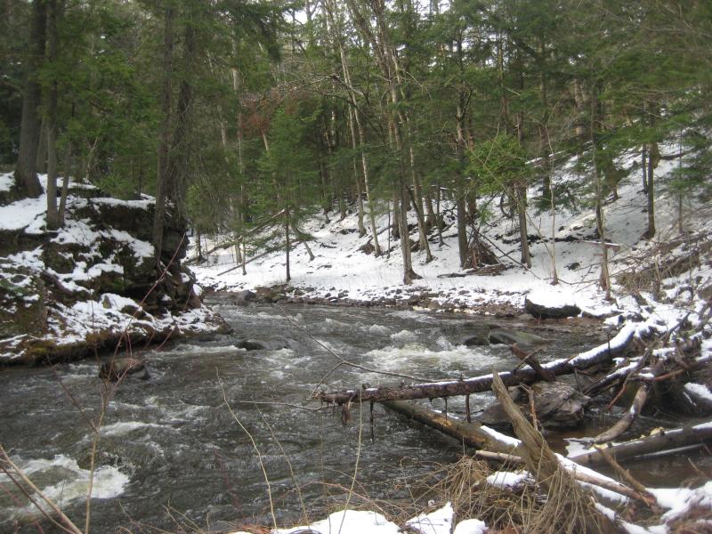
USGS lists a sampling site at the bridge just upstream of the impoundment here, showing drainage area at that point of 62 square miles.
Location
View Full Run
B) 'Upper': Carp Lake dam to CR553 (Marquette Mtn.) (2.88 miles)
Carp (Marquette)
III-V(V+)
2.2 mi
Current Conditions
5-Day Forecast
Whitewater data from
American Whitewater
American Whitewater