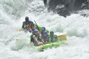
Wrapped Bridge - Goal Post
Kings, N. Fork - Dinkey Creek to Main Kings Confluence (CA)
Gauge Conditions
Approximate - nearest available gauge. Use as general reference only.
CDEC Flow Data California
Photo
Description
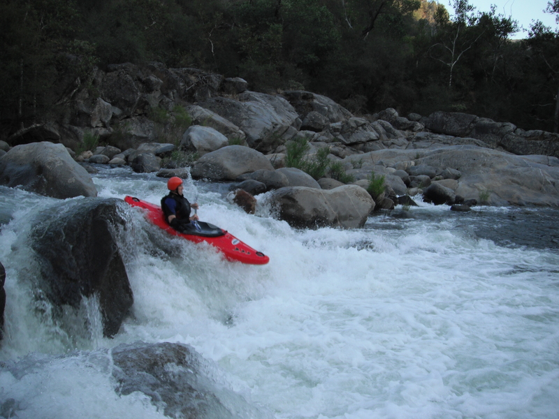
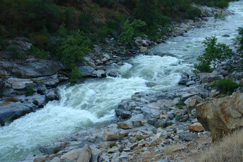
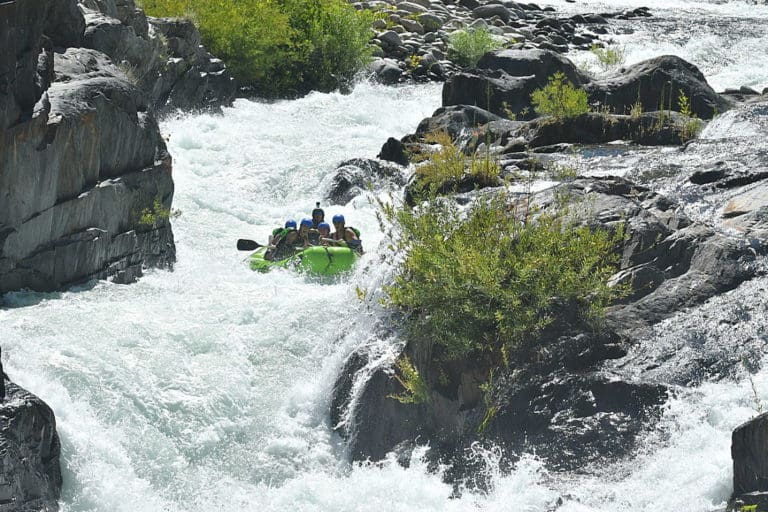
This rapid is not visible from the road though you could hike down to it.
The bridge is wrapped around a huge boulder in the middle of the river. The left side drops into a big pothole. Center routes pass close to the undercut boulder and the jagged metal of the bridge. The conservative route is to drop down a chute on river right over a ledge or two. Eddy hop down below and right of the wrapped bridge then work your way to far river left, before cutting back to the center and ski jumping off of junky boulders. (The GoalPost). If you miss the last cut, then you crash down the shallows on the left which is no big deal. At higher flows there is a fine center chute on the bottom, but it has severe pin potential at lower flows.
If you scout you might see lots of interesting lines to run.
Location
Current Conditions
5-Day Forecast
American Whitewater