01. Box Canyon
Linked via: Proximity 97% confidence Synced 6mo ago
Gauge Conditions
Runnable: 100.0 – 1,000.0 CFS
This gauge is just a reference. There isn't a gauge on Christopher Creek, but if you see Tonto spike above 100, you will be able to get down the creek.
Data from American Whitewater & USGS
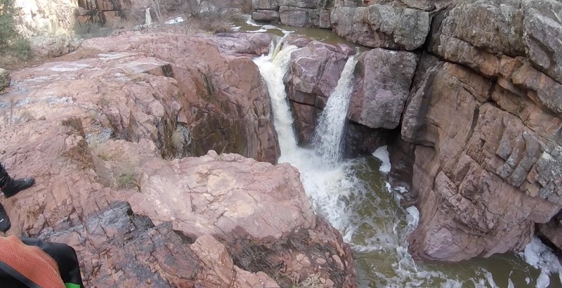
Run Map
Description
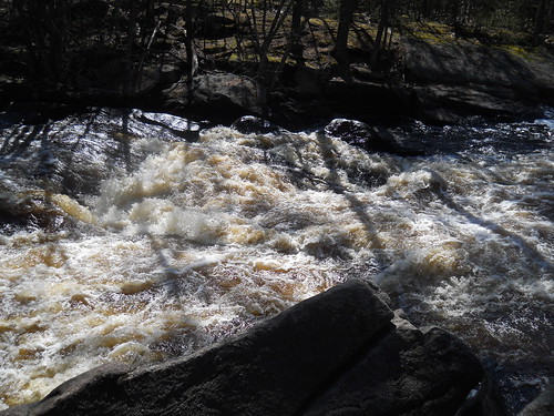
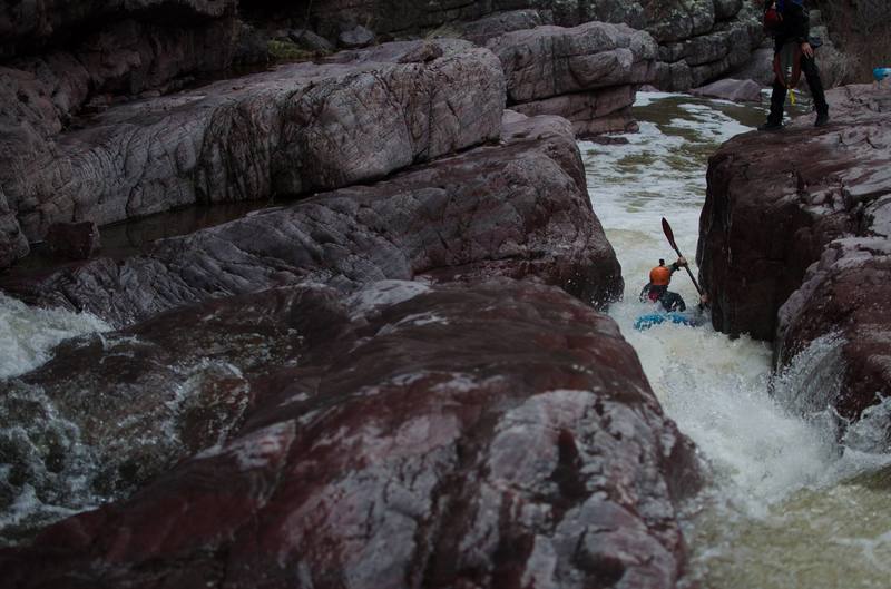
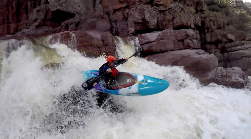
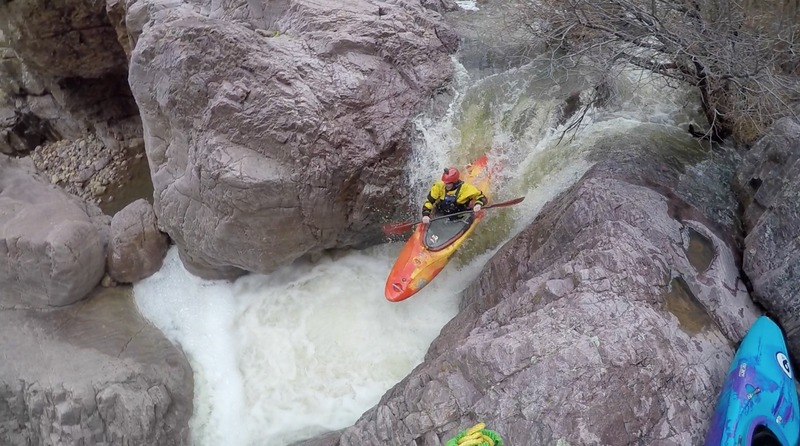
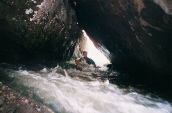
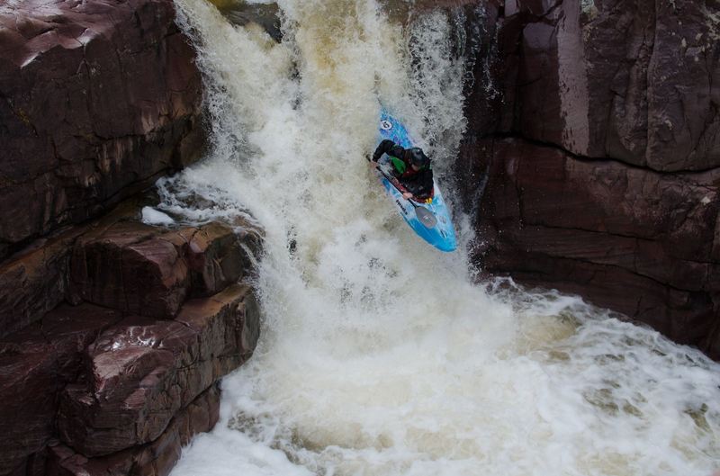
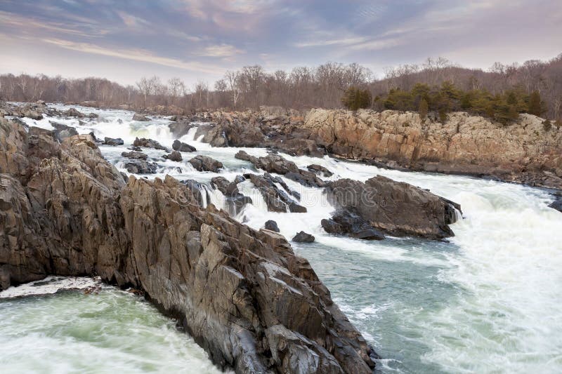
A spectacular steep creek through a box canyon. Christopher Creek is a tributary stream feeding Tonto Creek.
120 to 150 CFS is good here ~ the only gauge serving this run is the Tonto Creek gauge 50 miles downstream.
Bret Howard, Roy Lippman, Tyler Williams, Hut Wade and Mark Knight attempted Christoper Creek first in 2005.
Roy broke his leg on the 4th or 5th drop (a 10-footer into a shallow pool).
Evan Stafford, Kyle McCutchen and Todd G completed the first descent shortly after.
Christoper Creek is on the radar of steep creekers worldwide. Fickle seasonal weather events means you must be ready when it rains.
'Oh yeah... its raining. Get in the truck' said a guy I know...
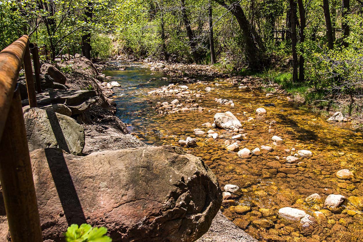
Put In: Christopher Creek Campground off HWY 260 +/- 21 miles east of Payson, AZ.
Do not put in or linger at the Scout Camp (It is private property). (Think GC Yellowstone put in)
Take Out: Tonto Creek at Bear Flats (may require a 4 wheel drive) or hike out at Spring Creek back to vehicle on HWY 260.
Photos and Video can be found here:
COKayaking: First Successful Descent Report excellent descriptions and photos. <-- fix your link guys or email the streamkeeper 10.12.2025)
Huckin Huge Films: 2nd Descent Christopher Creek. (Huckin' guys need a new link or to pay your domain fee 10.12.2025 b/c the link is broke)
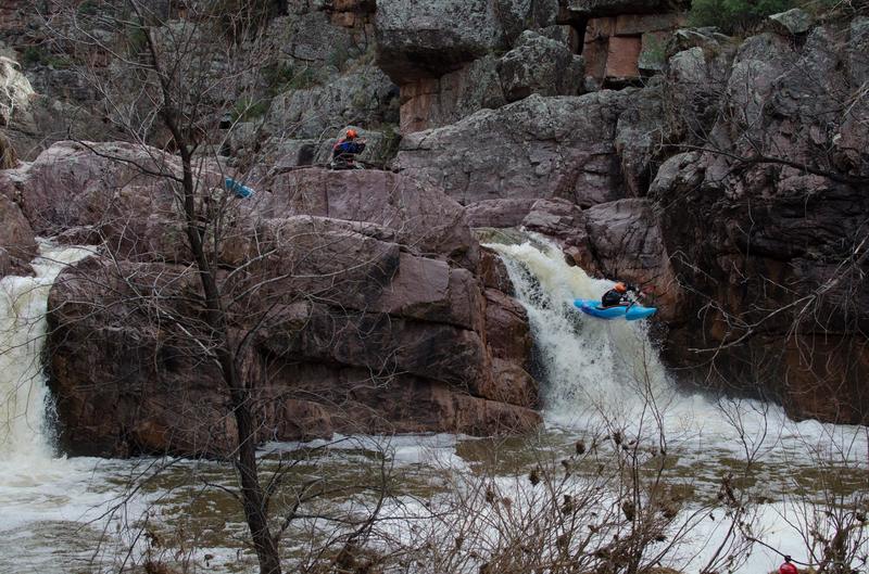
Rapids in this Run (8)
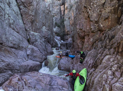
Waterfalls (4)
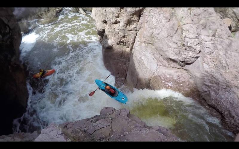
Hazards & Portages (2)
Caution: The following locations may require scouting or portaging. Always check current conditions.

Difficulty
Class IV-V
Length
5.3 mi
Gradient
126 ft/mi
max 350
Rapids
8
1 Hazard
1 Portage
Access Points
Difficulty Classes
I Easy
II Novice
III Intermediate
IV Advanced
V Expert/Extreme
VI Unrunnable
Current Conditions
5-Day Forecast
Whitewater data from
American Whitewater
American Whitewater