01. James Canyon Drive to Buckingham Park
Linked via: Proximity 99% confidence Synced 6mo ago
Gauge Conditions
Runnable: ? – ? CFS
Approximate reading: This gauge is 9.2 miles away on Left Hand Creek. Use as a general reference only.
Data from American Whitewater & USGS
Run Map
Run Time Estimate
Select put-in and take-out to estimate time.
Unlock Advanced Trip Planning
See wind-adjusted speed maps, forecast planning, and detailed time estimates.
Sign in to generate an AI timing estimate for this run.
Whitewater timing varies with scouting, portages, and group pace. Use as a planning baseline.
Description
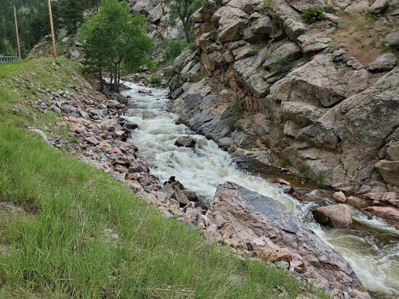
This manky little creek can roar in the rain/snow mix events that frequent N.E. Colorado. The unique mixture of Front Range Colorado weather mixing snow and rain and draining some uniquely steep fire prone terrain.
Left Hand Creek is seasonal by nature. It has irregular in-flow rates due to dewatering in the headwaters and leeward geography. This creek has wood and lots of willow combining with low and abandoned bridges.
This run could start at the James Creek confluence with Left Hand Creek, or run from the lower Jamestown bridge with supporting flows.
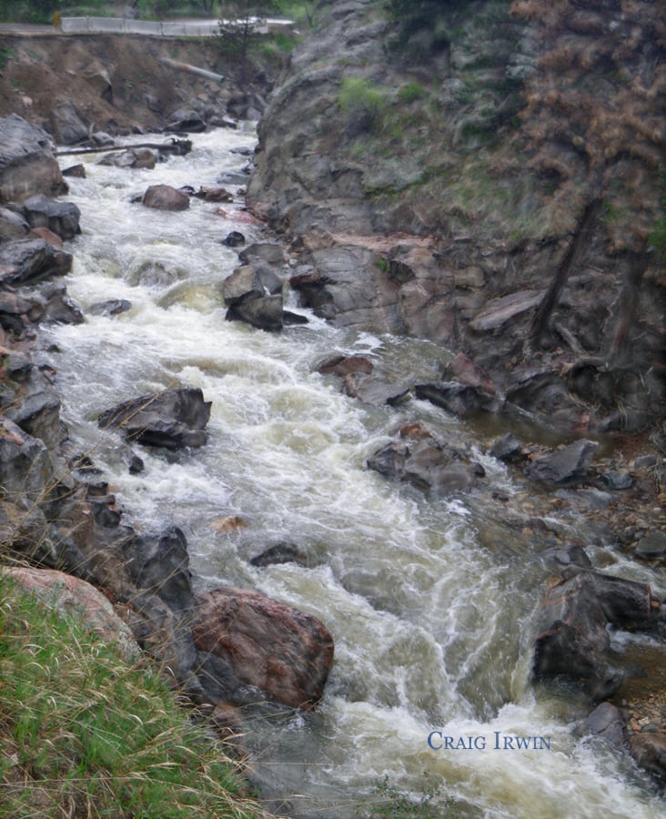
Scout the steeper turns below Jamestown and the rocky drops after the underpass in the 2000 mile of Lefthand Canyon Drive.
Fires in 2020 may increase chances of strainers. Catastrophic floods of September 2013 re-arranged James Creek and Left Hand Creeks and peoples lives, killing one. The stream corridors are bulldozed, filled with debris, stumps and logs, along with bridgeparts and remaining debris. The new series of bulldozer vanes installed below Jamestown appear as Class II step pools. There are sharp and irregularly shaped rocks in the tight curves below Jamestown. James Creek flows through Jamestown and joins Left Hand Creek at the bridge where upper Left Hand Canyon.
The gauge is 1.4 miles West of the Intersection of HWY 36 and Left Hand Canyon Dr, and was installed in May 2014, after the 2013 Flood.
Also see _Colorado Rivers and Creeks II_, by Banks and Eckardt _(The Bible)_, for info on this and most of the other kewl runs of Colorado.
The various reaches of Saint Vrain Creek: Upper NSV (Class V+/VI-), Middle NSV (Class IV/V), Lower NSV (Class II/III), Upper SSV (Class V+/VI-), SSV (Class V/V+), and Left Hand Creek (Class IV).
Rapids in this Run (2)
Hazards & Portages (2)
Caution: The following locations may require scouting or portaging. Always check current conditions.
Difficulty
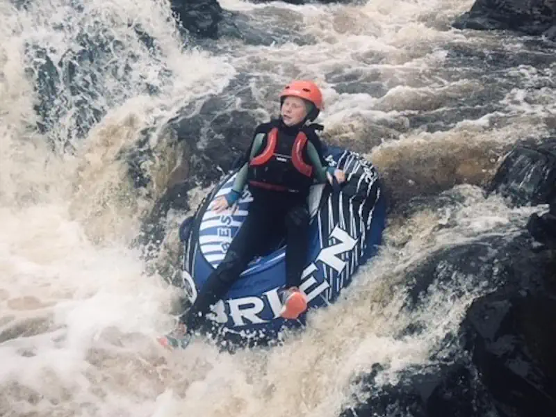
Class IV
Length
2.7 mi
Gradient
146 ft/mi
max 180
Rapids
2
2 Hazards
Access Points
Difficulty Classes
I Easy
II Novice
III Intermediate
IV Advanced
V Expert/Extreme
VI Unrunnable
Current Conditions
5-Day Forecast
Whitewater data from
American Whitewater
American Whitewater