01. Sulphur Campground to Evanston
Linked via: Nhdplus gnis 95% confidence Synced 6mo ago
Gauge Conditions
Runnable: 500.0 – 2,500.0 CFS
Best levels unknown. Help us out! Add a comment.
Data from American Whitewater & USGS
Run Map
Run Time Estimate
Select put-in and take-out to estimate time.
Unlock Advanced Trip Planning
See wind-adjusted speed maps, forecast planning, and detailed time estimates.
Sign in to generate an AI timing estimate for this run.
Whitewater timing varies with scouting, portages, and group pace. Use as a planning baseline.
Description
The Bear River has several different sections that can be run during the spring snowmelt.
The upper Bear River flows North from Utah into Wyoming and flows swiftly with mostly continuous class II whitewater interrupted by a few lower gradient stretches, some fences and the occassional wood hazard.
The runs begin on the Uinta-Wasatch-Cache National Forest. Some of the best whitewater is just downstream of the Forest Service boundary where the river flows through private land with very limited access.
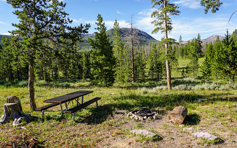
_Hayden Fork of the Bear, Sulphur Creek Campground to East Fork Campground, Class 1-3, 12 miles._
Begins slow with meadows and beaver dams but transitions to more continuous gradient as you pass Beaver View Campground and then Hayden Fork Campground. Look out for wood hazards. You pick up additional flow as your pass Stillwater Campground where the Stillwater Fork of the Bear joins the river. Hayden Camp to Stillwater Campground (5 mi) or on to East Fork Camp (another 3.5 mi) are the best whitewater stretches with a legal takeout.
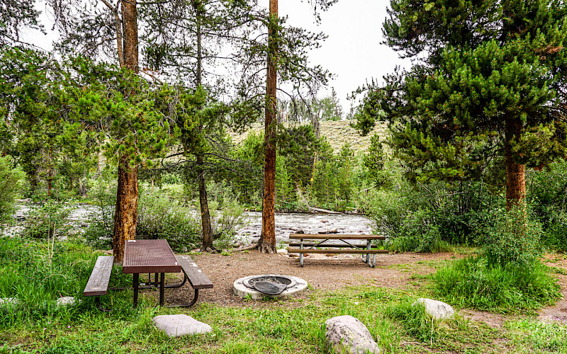
_Bear River, East Fork Bear River Campground to USGS Gage, Class II-III, and 4 miles_
Some of the best whitewater on these upper reaches of the Bear River with fast continuous rapids. Shortly after you paddle below East Fork Bear River Campground, you cross the Forest Service boundary as the river flows through private land nearly all the way to Evanston. This private property makes finding a take-out an issue and because of that the run is not often done.
_USGS Gage to Chalk Creek Road, 11 miles_
This section is said to have a number of barbed wire fences across the river, so it is rarely run.
_Chalk Creek Road to Highway 150 Bridge, 13 miles_
Unknown \[no Beta available\].
_Highway 150 Bridge to Bear River State Park in Evanston, class II, 11.5 miles_
Fast, bank-to-bank mostly flatwater, with no rapids of note until getting close to the town play park (the next run). Stay alert for fences across the river. Lots of wildlife reported on this section including moose, raptors, and waterfowl. The run parallels the road but with little or no road access until reaching Bear River State Park in Evanston. Fun in a fast Class II.
\[American Whitewater note: The Bear River has recreation access issues due to private land ownership and barbed wire installations.\]
Difficulty
Class I-III
Length
52.0 mi
Rapids
7
Access Points
Difficulty Classes
I Easy
II Novice
III Intermediate
IV Advanced
V Expert/Extreme
VI Unrunnable
Current Conditions
5-Day Forecast
Whitewater data from
American Whitewater
American Whitewater