01. The Jug
Linked via: Proximity 99% confidence Synced 6mo ago
Gauge Conditions
Runnable: 7.0 – 100.0 CFS
Data from American Whitewater & USGS
Run Map
Run Time Estimate
Select put-in and take-out to estimate time.
Unlock Advanced Trip Planning
See wind-adjusted speed maps, forecast planning, and detailed time estimates.
Sign in to generate an AI timing estimate for this run.
Whitewater timing varies with scouting, portages, and group pace. Use as a planning baseline.
Description
Description:
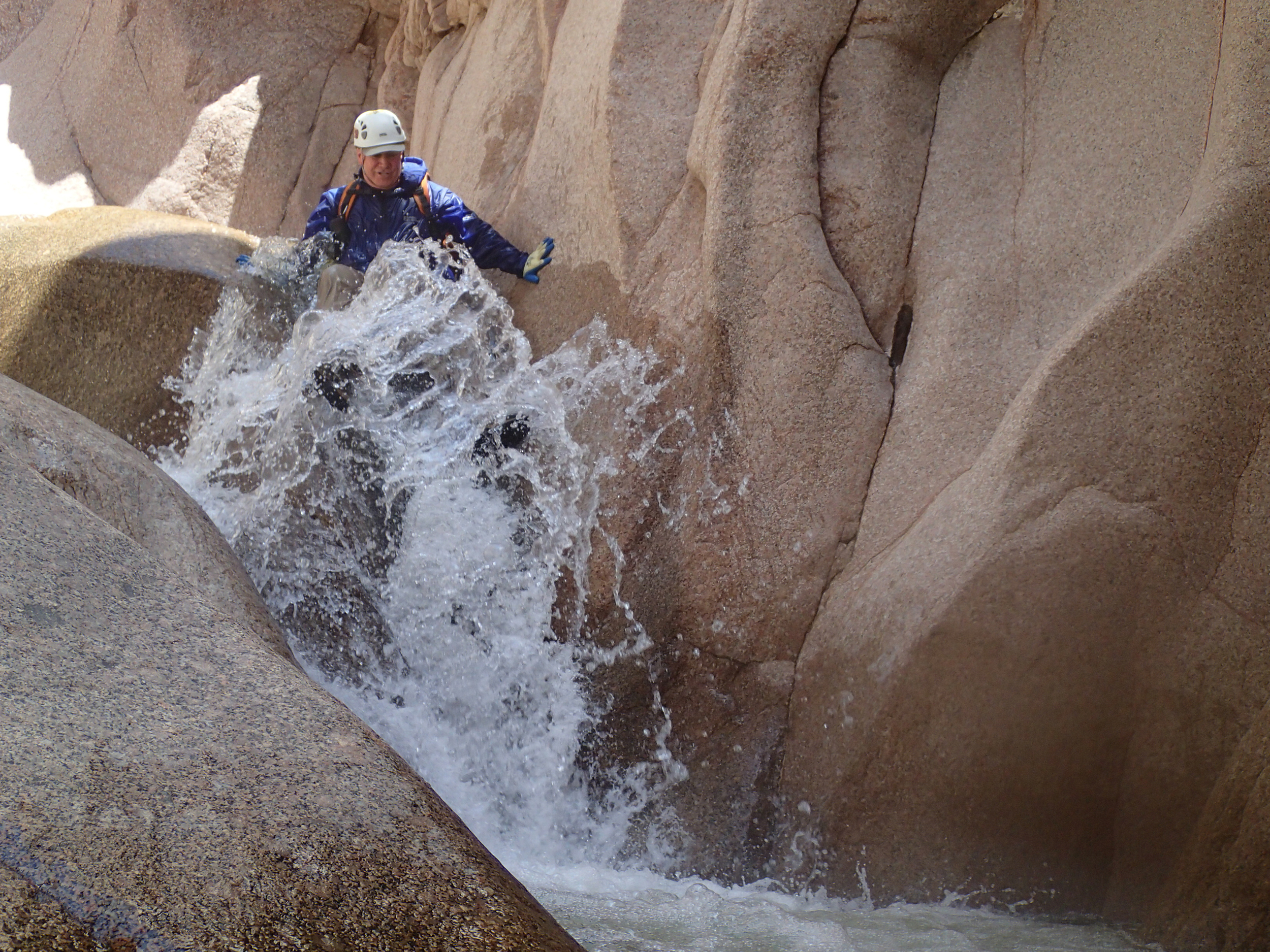
As of 2007 this has been run once in kayaks yet holds numerous canyoneering descents.
This stretch of creek is one of the most amazing places that you will be able to boat ever. It is sheer vertical walls with ZERO opportunities for escape. You do not want to go in there at what appears to be 'a good high level'. It is recommended that you do a canyoneering trip prior to kayaking this creek. But for those boaters who don't have that luxury...then make sure that you walk the length of The Jug from the north rim.
Rapids:
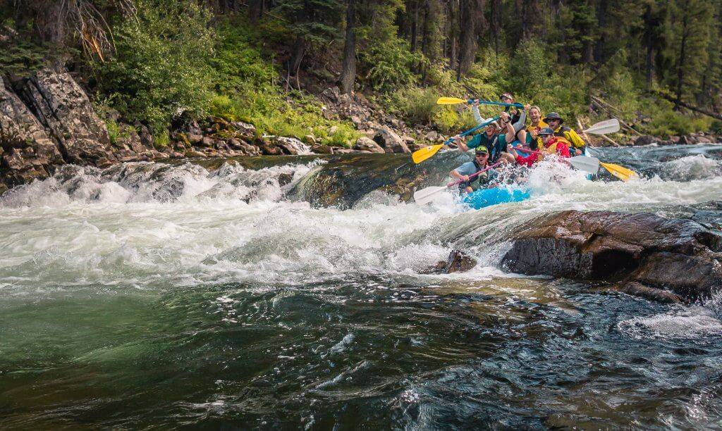
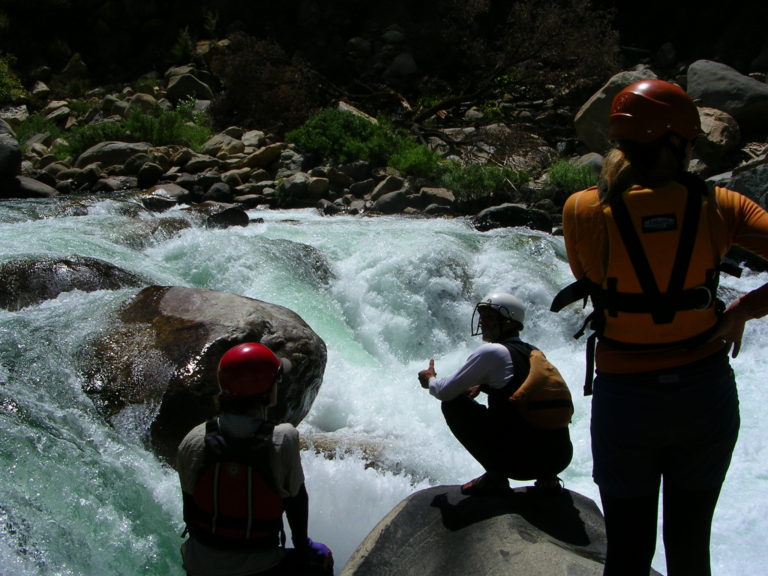
There are countless slides and falls in here, ranging from 4-30 feet.
The entrance drops to The Jug are a good indication of what is downstream. There is only one mandatory portage (Ryan's Falls)
The rapids of note \*with names\* are as follows: (IN ORDER)
-Good Twin (small 5-footer that looks like you will piton)
-Last Chance Falls (wierd but hard hitting fall to slide)
-Three Blind Mice (run the top 15 foot slide, and the portage(?) the pinch) \*\*This drop could throw a major wrench in your whole trip
-Cave Drop (you'll pass under a fallen spire)
-Evil Twin (the CHOICE drop of the run)
-Ryan's Falls (portage baby - scale walls and cliff jump or repel from the anchor position on RR)
-Camelback (double drops the mark the finish of the Jug)
Take-out: From HWY 88 take A+ (or A Cross Rd) to where the creek crosses the road (right near a ranch). Here is your take-out. It is exactly 1.5 miles downstream from the Jug. It is a bash, but better than hiking out on the put-in trail.
Put-in: Drive up 2.5 miles to the pull-off (where there is a large Sierra Anches Wilderness Forest Service sign) and park here. There is a trail (old jeep trail) easily visible. Hike this for two miles, it will drop you into the canyon. \*\*Make Sure\*\* you close all the farmers gates! You will be standing on the side of the Jug. Hopefully it is running. If it is and you are qualified enough, you will know what to do from there!!!
VIDEO, PICTURES AND STORY HERE:
1st Descent of Salome Creek
Other Information Sources:
Salome Jug: Brennen Guide
Many canyoneering videos of the Salome jug can be found on youtube
Long video with map of hike in.
Rapids in this Run (4)
Difficulty
Class V+
Length
3.9 mi
Rapids
4
Access Points
Difficulty Classes
I Easy
II Novice
III Intermediate
IV Advanced
V Expert/Extreme
VI Unrunnable
Current Conditions
5-Day Forecast
Whitewater data from
American Whitewater
American Whitewater