02. Pringle Falls to Big River Campground
Linked via: Proximity 95% confidence Synced 6mo ago
Gauge Conditions
Runnable: ? – ? CFS
Approximate reading: This gauge is 6.1 miles away on Deschutes. Use as a general reference only.
Data from American Whitewater & USGS
Run Map
Run Time Estimate
Select put-in and take-out to estimate time.
Unlock Advanced Trip Planning
See wind-adjusted speed maps, forecast planning, and detailed time estimates.
Sign in to generate an AI timing estimate for this run.
Whitewater timing varies with scouting, portages, and group pace. Use as a planning baseline.
Description
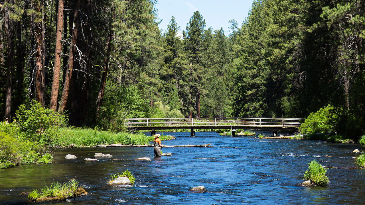
The first half of this run down to La Pine Campground is a flatwater paddle through a forested landscape within the Deschutes National Forest. Be aware of the Tetherow Log Jam that is a required portage on river left along a 250 yard portage trail.
Below La Pine Campground the setting is more open as the river meanders and flows through the wetlands of the Deschutes Land Trust Thomas Preserve.
For additional information on recreational opportunities see the Deschutes National Forest web site.
Logistics: From Highway 97 mile 165.3 turn onto Burgess Road and follow it 7.3 miles down to the Deschutes River and an intersection just prior to the bridge across the Deschutes River. To reach the put-in from this intersection turn right on Forest Spur 500 and follow it 0.7 miles down to the Pringle Falls Campground which provides hand-carry access to the river (no ramp) and 7 camp sites.
LaPine State Park is an intermediate access point with electrical hookup sites, cabins, hot showers, flush toilets, and boat ramp to access the river.
Big River Camgpround is the take-out with 10 individual sites and 3 group sites and a boat ramp to access the river. To reach this access from Highway 97, take exit 153 towards Sunriver off Highway 97. Continue 2.3 miles west towards the river on South Century Drive at which point you turn left at a junction to stay on South Century Drive. In another 3.1 miles turn right at the intersection to stay on South Century Drive and in 2.7 miles you will cross the river at Big River Campground. The boat ramp is on the downstream river right side of the bridge.
Rapids in this Run (2)
Hazards & Portages (1)
Caution: The following locations may require scouting or portaging. Always check current conditions.
Difficulty
Class I-II
Length
15.7 mi
Rapids
2
1 Hazard
Access Points
Difficulty Classes
I Easy
II Novice
III Intermediate
IV Advanced
V Expert/Extreme
VI Unrunnable
Current Conditions
5-Day Forecast
Whitewater data from
American Whitewater
American Whitewater