02 (Rye Creek to Gun Creek)
Linked via: Nhdplus discovery 90% confidence Synced 6mo ago
Gauge Conditions
Runnable: 550.0 – 2,000.0 CFS
Range of acceptable flows (flows based on AW's 2014 Colorado Basin Flow Study).
Data from American Whitewater & USGS
Run Map
Run Time Estimate
Select put-in and take-out to estimate time.
Unlock Advanced Trip Planning
See wind-adjusted speed maps, forecast planning, and detailed time estimates.
Sign in to generate an AI timing estimate for this run.
Whitewater timing varies with scouting, portages, and group pace. Use as a planning baseline.
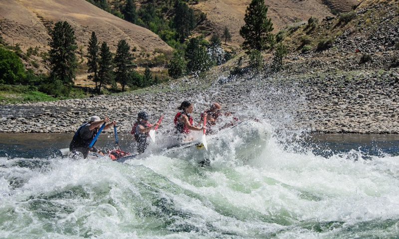
Description
Tonto Creek is an Arizona classic gorge! Runoff dependent.
Minimum flow: 400 CFS / Maximum flow: +/- 6000 CFS
Tonto Creek makes for an interesting ramble through the desert into a colorful gorge.
Putting in at Rye Creek confluence with Tonto Creek is the easiest way to do a day section of this unique Arizona rain offering. Leave Flagstaff in the morning and be home for dinner. Willows, big boulders in the river and colorful mini gorges. Pretty fun! Makes a fine bike shuttle.
Video: Packrafting Tonto Creek at 400cfs
Original Write Up:
THE RUN: The put-in for this run starts on Rye Creek. From the start it's shallow and overrun with brush, then becomes a micro creek with bedrock, and often covered with cattle fences, so take caution. This is a fun run when it is running.
Usually doesn't run unless it is in the monsoon season (fall) or in a heavy run-off. This is a classic Class III run with a creekboat feel. At high water this is a class 5 and pretty demanding. In 1993 Wesley Hall died here, after a long swim, and the creek was flooding (extremely high).
There are a bunch of boulder gardens, and a few strainers hanging over the shoreline that you have to look out for. About halfway through this run powerlines cross overhead, and it is a good idea to eddy-out river left to scout the biggest drop on the creek. The drop, often called The Gauntlet or Pinrock, is about an 8-ft. tounge that is very constricted, with a sticky hole at the bottom. The drop kind of goes in this narrow canal and is very aerated, lots of fun, and you go deep!
About a mile before the takeout, it's worth stopping on river right to check out Gold Creek and take a short hike up to an amazing waterfall.
After that there are your usual boulder drops and a few sticky pourovers, that always surprises the unaware boater. Overall definitely worth doing, especially if you are an AZ ELF BOATER. (Extremely Low Flow).
-Cody Howard
Rapids in this Run (1)
Hazards & Portages (1)
Caution: The following locations may require scouting or portaging. Always check current conditions.
Difficulty
Class III+
Length
3.0 mi
Gradient
38 ft/mi
max 50
Rapids
1
1 Hazard
Access Points
Shuttle Info
TO GET THERE:
From Jakes Corner, take the dirt road (#184) directly accross the 188 from the bar (you will see a huge tree in front of trailer homes) for about 2.7 miles.This road becomes quite the muddy mess after a good rain event, especialy the last stretch, and requires 4wd with some clearance. When you start heading downhill and can see the Rye Creek drainage on the left take a right at the fork in the road. Shortly thereafter you will see a gate and enough space to park a handful of vehicles. A short hike down hill past the gate bring you to Rye Creek (remember to close the gate behind you).
The take-out is located about 2.7 miles down Highway 188 from Jake's Corner. When heading SE on the 188, after a long downhill, make a left onto an unmarked dirt road. There are several parking options along this road. Make sure to spot powerlines and saguaros as reference to where you leave your vehicle. high clearance 4wd will bring you closer to the creek.
Difficulty Classes
I Easy
II Novice
III Intermediate
IV Advanced
V Expert/Extreme
VI Unrunnable
Permit Required
n/a
Current Conditions
5-Day Forecast
Whitewater data from
American Whitewater
American Whitewater