09. Sarah Totten Campground to Happy Camp
Linked via: Unknown Synced 6mo ago
Gauge Conditions
Runnable: 700.0 – 8,000.0 CFS
Range for best boatability uncertain. Please help your fellow paddlers by providing a comment or report.
Data from American Whitewater & USGS
Run Map
Run Time Estimate
Select put-in and take-out to estimate time.
Unlock Advanced Trip Planning
See wind-adjusted speed maps, forecast planning, and detailed time estimates.
Sign in to generate an AI timing estimate for this run.
Whitewater timing varies with scouting, portages, and group pace. Use as a planning baseline.
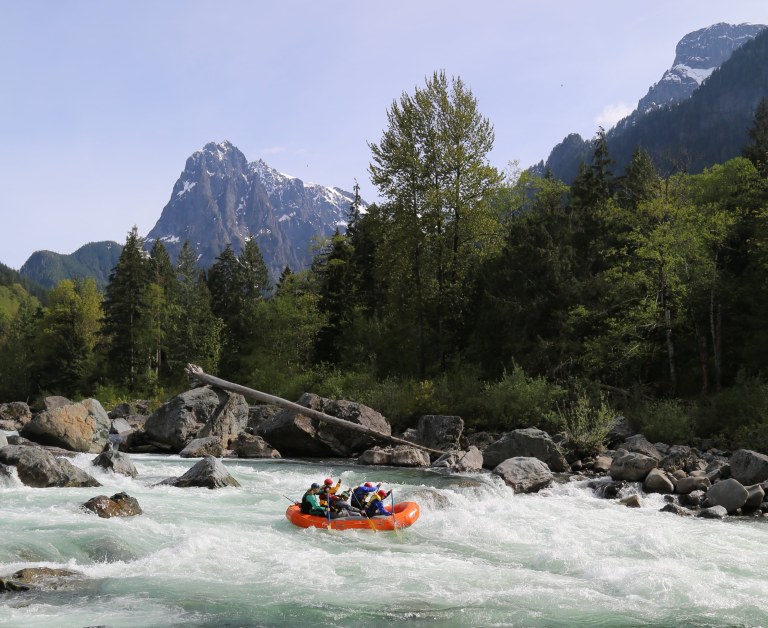
Description
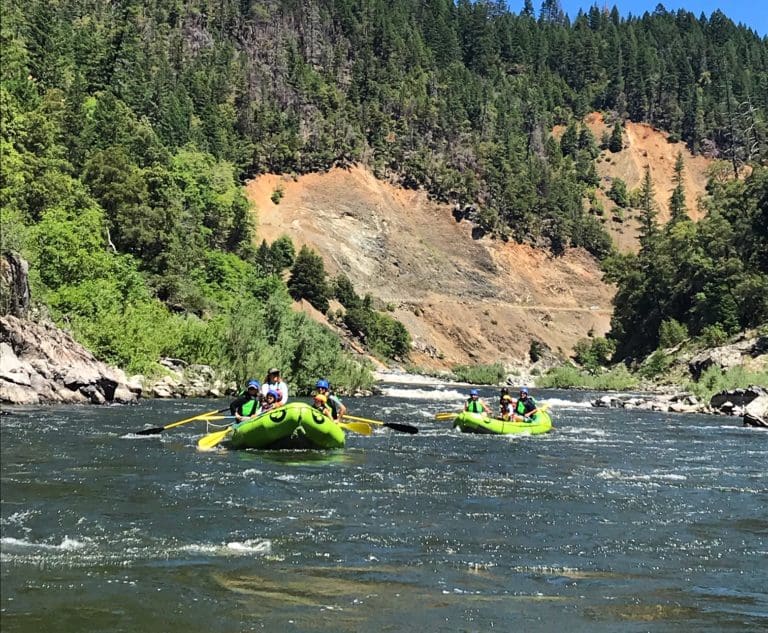
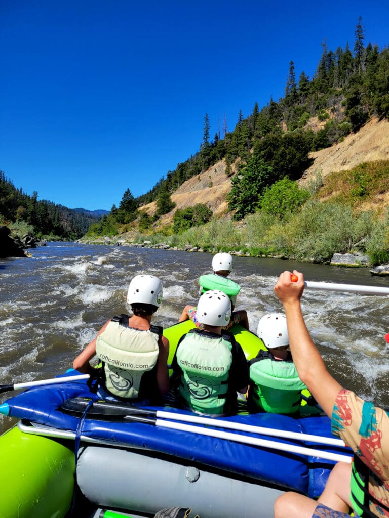
The river is roadside with a number of access points but many groups make an overnight trip out of it too as the river passes through the Klamath National Forest with occassional residential development.
_Sarah Totten to Portugeuse Creek (14.5 miles, class I-II(III))_
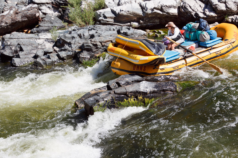
This segment is known as a float trip enjoyed by those salmon and steelhead fishing in the fall. It's a pleasant float with the exception of Hamburg Falls immediately below the put-in but alternate access points allow you to select the segment that provides what you are looking for.
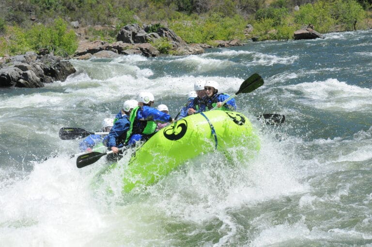
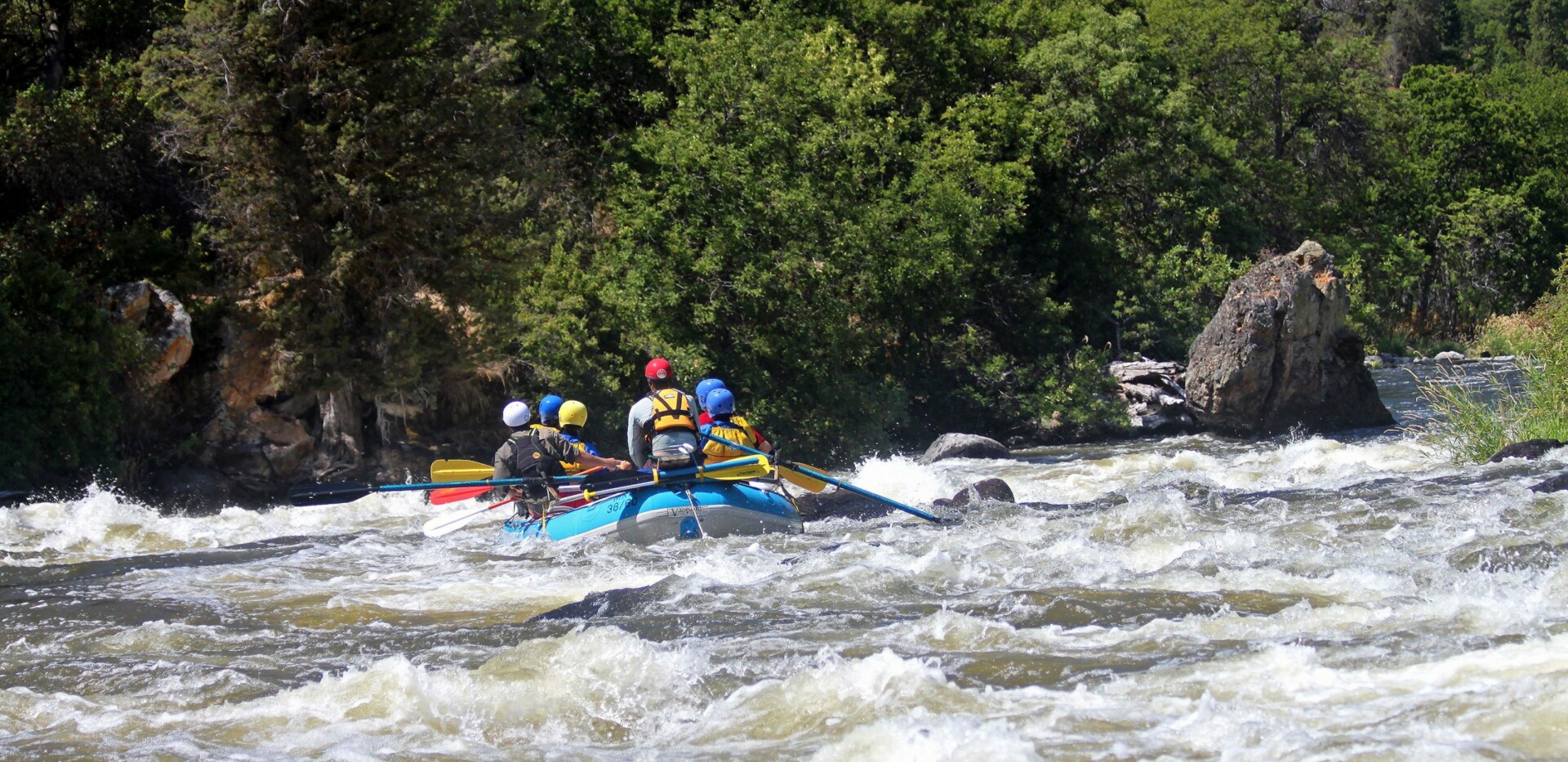
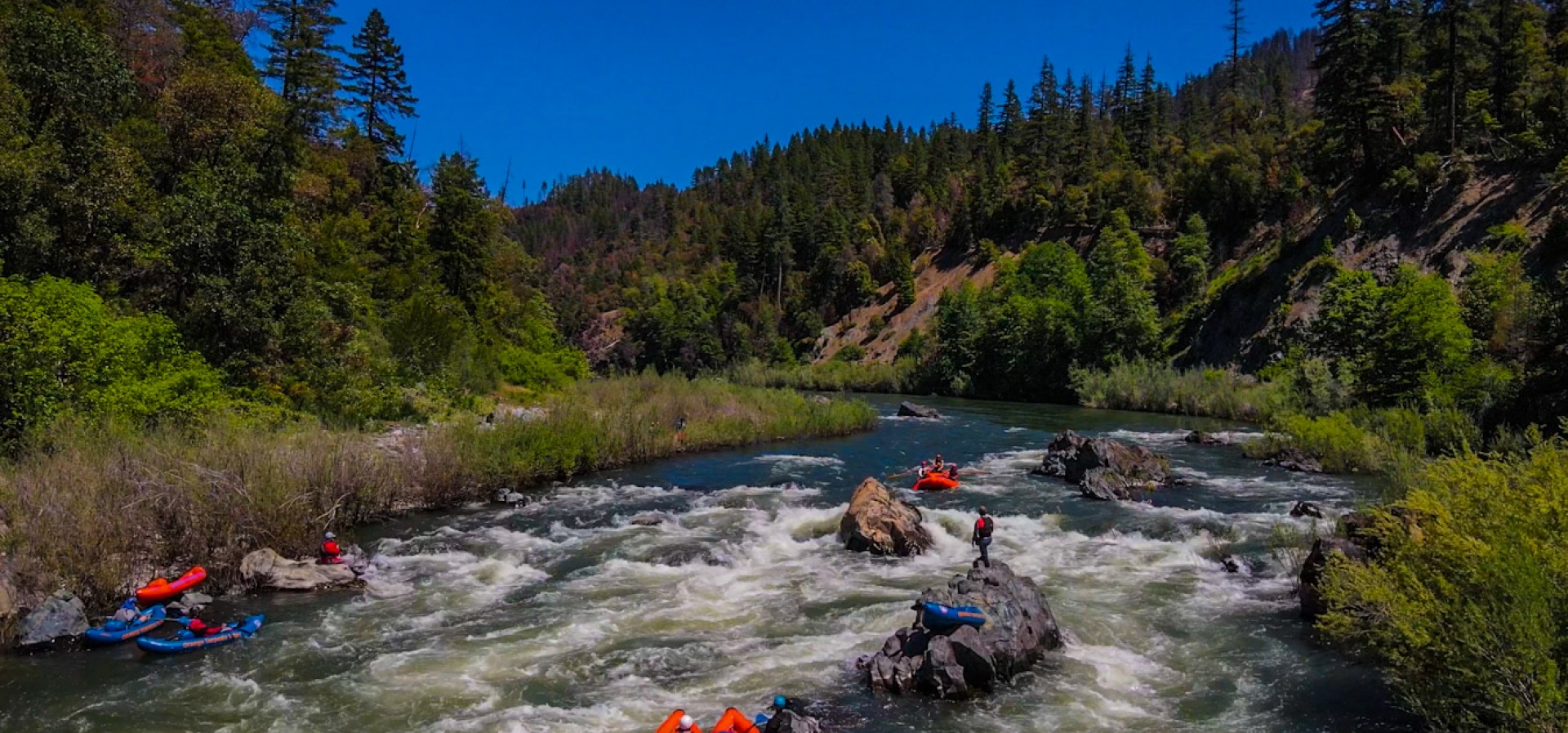
_Portugeuse Creek to Seattle Creek (5.7 miles, class III)_
For whitewater boaters the highlight of this run is the class III segment that begins less than two miles downstream of Portugeuse Creek that includes Upper Savage, Otter's Crib, Otter's Playpen, and Fort Goff Falls that are all packed into a mile and a half segement. Another class II follows a couple more miles after that and then the river transitions to a class I float for the dozen miles down to Happy Camp.
_Seattle Creek to Happy Camp (15 miles class I)_
This section is a mellow float where the river is higher up from the river and more distant from the highway making it a segment that is enjoyed by canoeists looking for an overnight trip. A couple of intermediate access points can be used to shortern this segment.
Additional Information
Klamath National Forest Klamath Wild and Scenic River website with link to Google Earth map of rapids, access points, and campsites < https://www.fs.usda.gov/recarea/klamath/recarea/?recid=13066 >
Rapids in this Run (19)
 Rapid
III
Rapid
III
Hamburg Falls
 Rapid
Rapid
Old Country Store Access
 Rapid
II
Rapid
II
O'Neil Creek Rapid
 Rapid
Rapid
Rocky Point Access
 Rapid
II
Rapid
II
Granite Point Rapid
 Rapid
II
Rapid
II
Sluice Box (aka Grider) Rapid
 Rapid
II
Rapid
II
Sluice Box Rapid
 Rapid
Rapid
Sluice Box (aka Grider) Access
 Rapid
II
Rapid
II
Portuguese Creek Rapid
 Rapid
Rapid
Portuguese Creek River Access
 Rapid
III
Rapid
III
Upper Savage Rapid
 Rapid
II
Rapid
II
Lower Savage Rapid
 Rapid
III
Rapid
III
Otter's Playpen
 Rapid
III
Rapid
III
Fort Goff Falls
 Rapid
II
Rapid
II
Rapid
 Rapid
Rapid
Seattle Creek River Access
 Rapid
II
Rapid
II
Joe Miles Rapid
 Rapid
Rapid
China Point River Access
 Rapid
Rapid
Gordons Ferry River Access
Difficulty
Class III
Length
35.2 mi
Rapids
19
Access Points
Difficulty Classes
I Easy
II Novice
III Intermediate
IV Advanced
V Expert/Extreme
VI Unrunnable
Current Conditions
5-Day Forecast
Whitewater data from
American Whitewater
American Whitewater