1.5) Bubbs Creek Confluence to Park Boundary
Linked via: Nhdplus gnis 95% confidence Synced 6mo ago
Gauge Conditions
Runnable: ? – ? CFS
Approximate reading: This gauge is 14.8 miles away on Kings. Use as a general reference only.
Data from American Whitewater & USGS
Run Map
Run Time Estimate
Select put-in and take-out to estimate time.
Unlock Advanced Trip Planning
See wind-adjusted speed maps, forecast planning, and detailed time estimates.
Sign in to generate an AI timing estimate for this run.
Whitewater timing varies with scouting, portages, and group pace. Use as a planning baseline.
Description
Boating on this section of the SF Kings is not allowed by Sequoia - Kings Canyon National Park regulations. See: Seki boating. However, we wish to document the potential for boating this reach, so that future discussions of boating can have a solid basis.
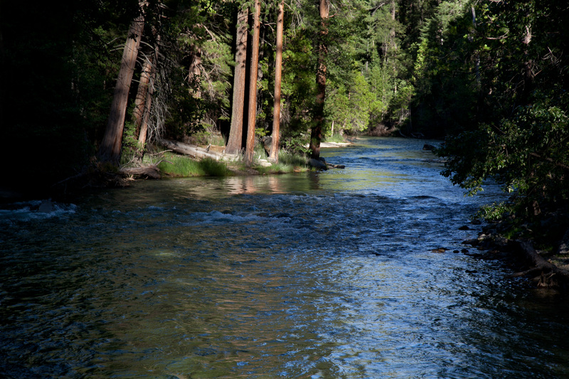
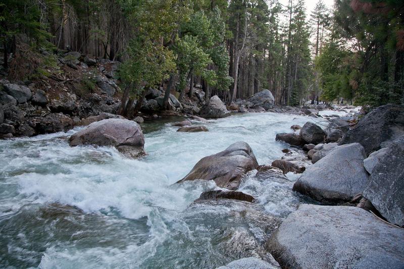
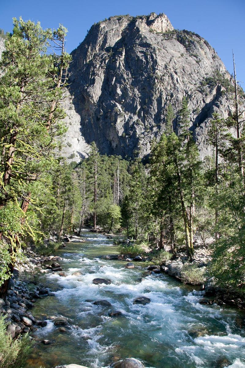
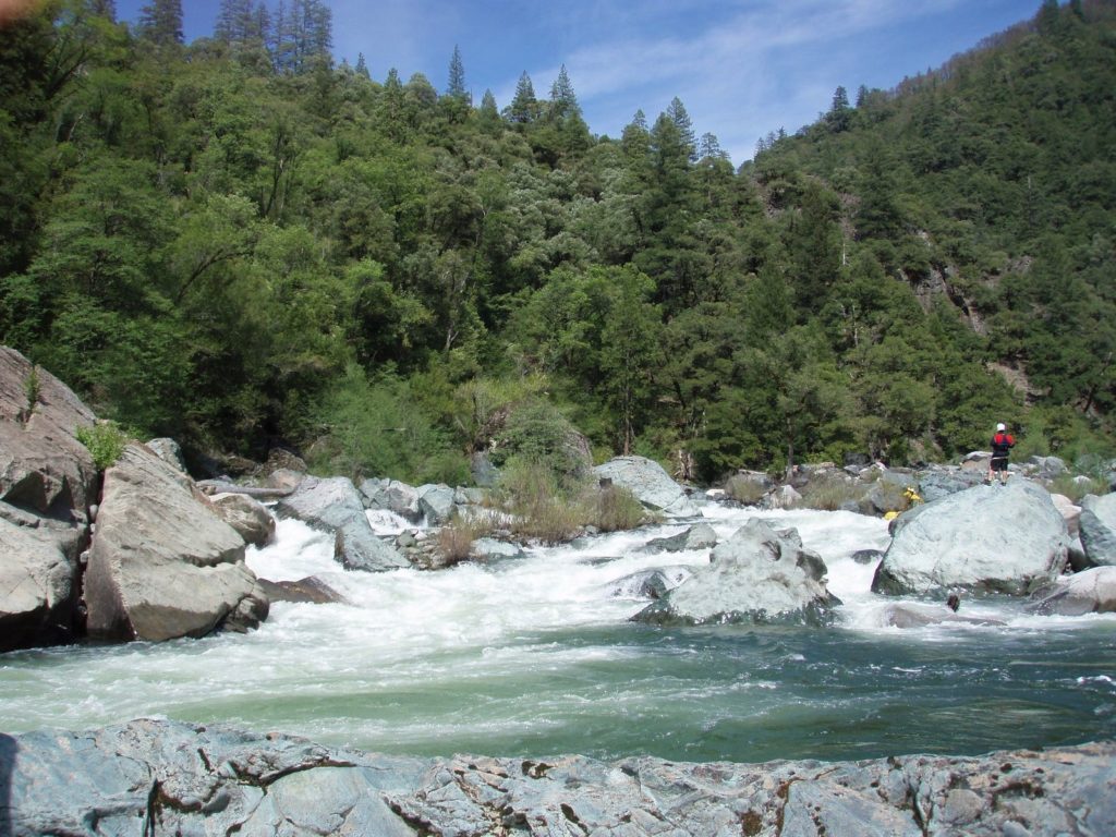
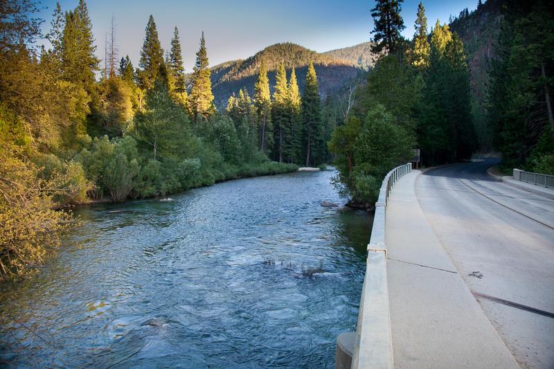
When viewed for many roadside access points the river is flat water or wide shallow riffles. This is surprising given the high gradient of 61 feet per mile. Given such a gradient, even moderate flows will produce very fast and continuous current.
It is our understanding that this section of river is off limits to boating because the seeming benign appearance makes it attractive and dangerous to the thousands of campers along the river who have no experience with the actual hazards of fast, very cold currents and frequent log strainers. However, once flows drop down, those same campers flock into the river for wading, fishing, swimming and floating.
It seems possible that there may be a window of opportunity with some moderate flows for boaters to enjoy the river without encouraging campers to endanger themselves.
AW is grateful that there is no blanket ban on all boating in the park. Most rivers in the park are so obviously steep and have such difficult access that only very experienced experts are tempted to boat them.

Difficulty
Class I-III(V)
Length
9.5 mi
Gradient
61 ft/mi
max 124
Rapids
7
Access Points
Shuttle Info
Cedar Grove is about 2 hours driving time from Fresno. Freeway 180 in Fresno turns into highway 180 and leads all the way to the park and to Cedar Grove. From the south it can be faster to turn off near Visalia and drive through Dinuba.
Difficulty Classes
I Easy
II Novice
III Intermediate
IV Advanced
V Expert/Extreme
VI Unrunnable
Current Conditions
5-Day Forecast
Whitewater data from
American Whitewater
American Whitewater