1) Albert Pike Campgound to Highway 84 Bridge (8.5 miles) Wild
Linked via: Proximity 96% confidence Synced 6mo ago
Gauge Conditions
Runnable: 5.0 – 7.0 FT
Data from American Whitewater & USGS
Run Map
Put-in
Take-out
Rapids/Hazards
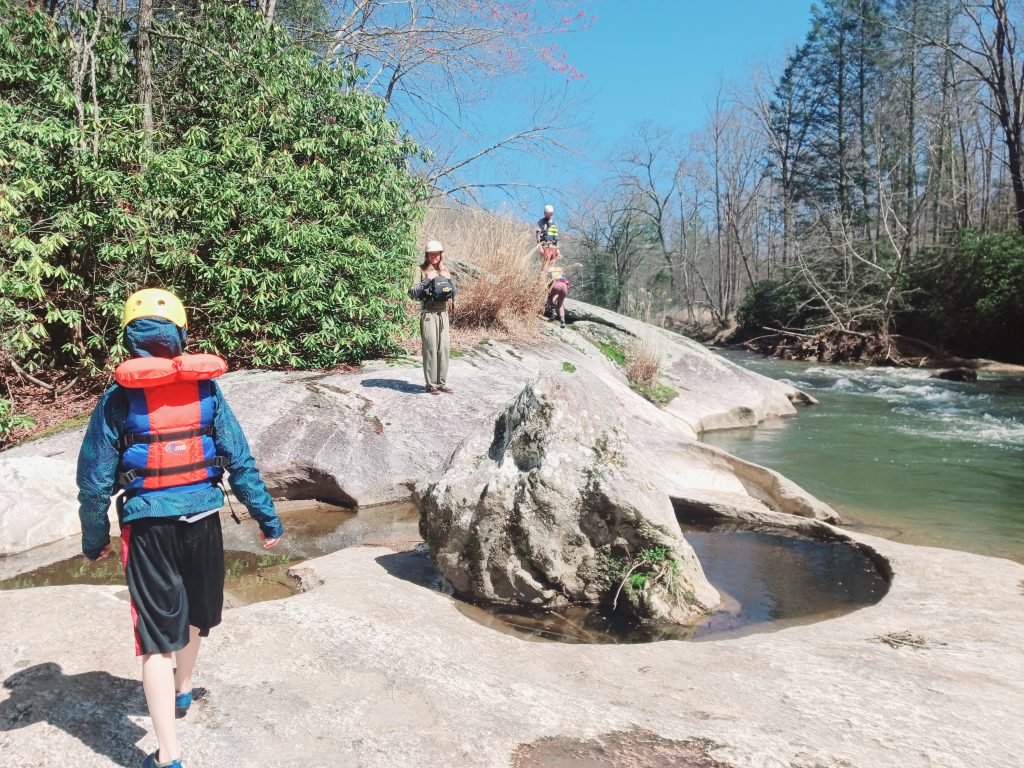
Wild
Scenic
Description
This river offers a good Class II to III+ challenge among A+ scenery in the Ouachita National Forest.
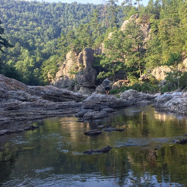
The river is generally pool drop with the pools in the first half of the run containing some decent current. Higher water levels offer lots of big waves and a few hydraulics.
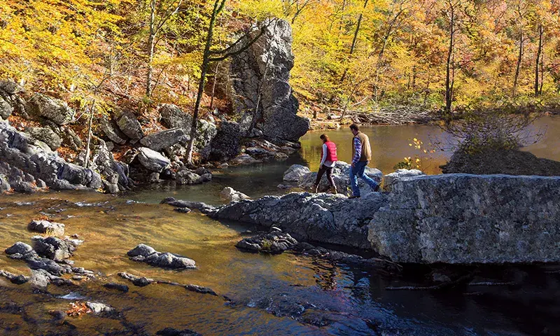
Put-in: Ouachita National Forest Campground Albert Pike. Take Hwy 369 North from Hwy 84 at Langley.
Take-out: Hwy 84 bridge West of Langley. There are a couple of access roads on the strecth below Edgar's surprise for other options.
Below Big Hole, the river offers larger pools but still has a few nice rapids and waves, most notable is 'Accellerator'.
For More info check out:
www.paddleyak.com.
Guidebook
Ozark Whitewater, Tom Kennon
Rapids in this Run (3)
Hazards & Portages (1)
Caution: The following locations may require scouting or portaging. Always check current conditions.
Difficulty
Class II-III+(IV)
Length
8.8 mi
Gradient
25 ft/mi
Rapids
3
1 Hazard
Access Points
Difficulty Classes
I Easy
II Novice
III Intermediate
IV Advanced
V Expert/Extreme
VI Unrunnable
Current Conditions
5-Day Forecast
Whitewater data from
American Whitewater
American Whitewater