1) Elk Creek to Moonshine Park
Linked via: Proximity 86% confidence Synced 6mo ago
Gauge Conditions
Runnable: 1,000.0 – 4,500.0 CFS
Data from American Whitewater & USGS
Run Map
Run Time Estimate
Select put-in and take-out to estimate time.
Unlock Advanced Trip Planning
See wind-adjusted speed maps, forecast planning, and detailed time estimates.
Sign in to generate an AI timing estimate for this run.
Whitewater timing varies with scouting, portages, and group pace. Use as a planning baseline.
Description
The Siletz is an Oregon Coast Range classic with easy roadside access providing a few different options from one long run to shorter runs that can be matched to the skill level of the group. The run is only available on weekends as the private timber road that provides access is closed to the public during the week.
Elk Creek to Buck Creek (4.5 miles)
A good intermediate run with the two most challenging rapids in the first mile.
Buck Creek to Moonshine Park (6.5 miles)
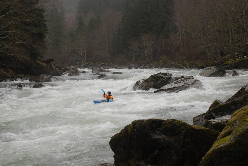
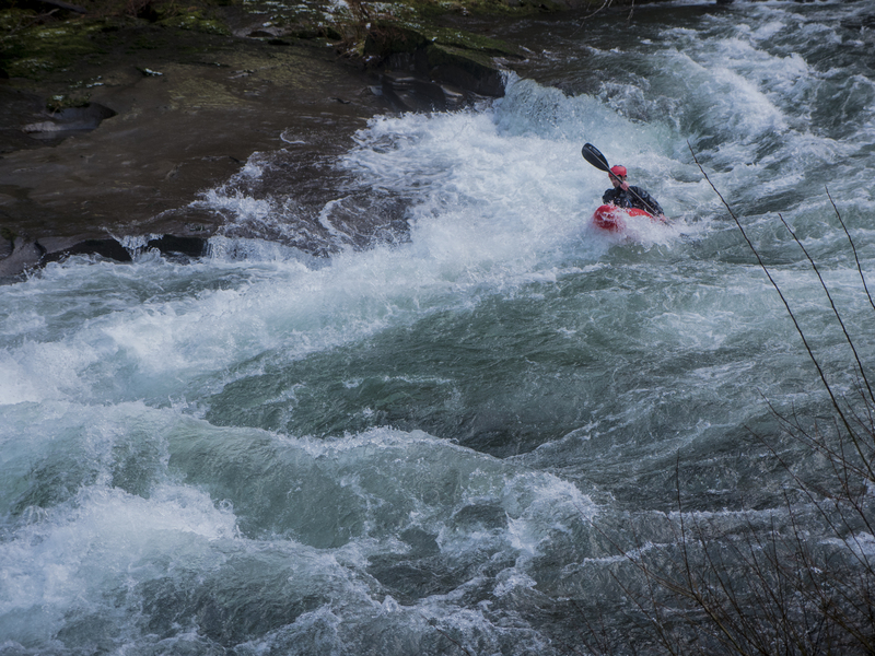
This run serves up some great whitewater with Silache a long rapid which can range from class III to solid class IV depending on flows. It can be easily seen from the road as you run your shuttle. There are more fun rapids, notably Quarry Drop where the river squeezes through a short and narrow rock gorge.
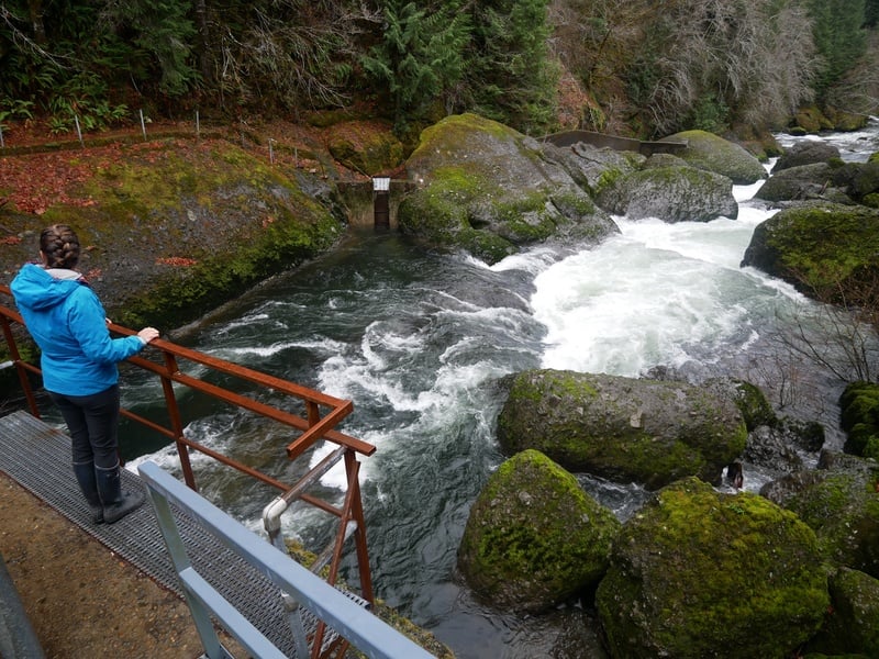
Logistics: At Highway 411 mile post 7.8 in Logsden (15 miles from Nashville or 8 miles from Siletz) turn on to Moonshine Park Road which heads up along river left. At mile 3.5 on Moonshine Park Road the county maintained road ends but you can turn down to the left which is 0.2 mile paved entrance road to Moonshine County Park with a boat ramp just before entering the park. To reach the put-in continue up the private gravel road (only open on weekends) and for the first few miles you have several options for roadside access. At mile mile 3.4 you will see Silache Rapid, the major rapid on the run which is easy to scout from the road. You will cross the bridge at mile 3.7 which marks the start of Silache Rapid and can serve as an alternate access point. After you cross this bridge the river climbs away from the river. At mile 5.2 you will cross Buck Creek staying to the right as you cross the bridge. You immediately come to Y in the road: take the right fork for the 0.4 mile descent down to the bridge that serves as the lower put-in at Buck Creek, or continue up the left fork to mile 11.6 and the put-in at Elk Creek. Well-worn boater trails can be found at both of these access points.
Rapids in this Run (4)
Waterfalls (1)
Hazards & Portages (1)
Caution: The following locations may require scouting or portaging. Always check current conditions.
Difficulty
Class III-IV
Length
10.5 mi
Gradient
30 ft/mi
Rapids
4
1 Hazard
Access Points
Difficulty Classes
I Easy
II Novice
III Intermediate
IV Advanced
V Expert/Extreme
VI Unrunnable
Current Conditions
5-Day Forecast
Whitewater data from
American Whitewater
American Whitewater