How's Your
River
×
Explore
Explore Map
Water Bodies
Gauges
Access Sites
Tidal Stations
Whitewater
Pricing
Login
Sign Up
Whitewater
Idaho
Potlatch - 1. Forks Road Bridge to Little Boulder Creek Campground
Whitewater Run
ID
Class I-II
1. Forks Road Bridge to Little Boulder Creek Campground
Potlatch
Linked via:
Proximity
95% confidence
Synced 3mo ago
Pin Location
Monitor
Water Body
Map
Rapids (1)
Gauge
Weather
Put-in
Gauge Conditions
Potlatch River Bel Little Potlatch Creek near Spalding
Downstream
Primary
Runnable: 500.0 – 2,000.0 CFS
Data from
American Whitewater
&
USGS
Run Map
Radar
Counties
Cell
Verizon
AT&T
T-Mobile
Dark
Satellite
Terrain
Description
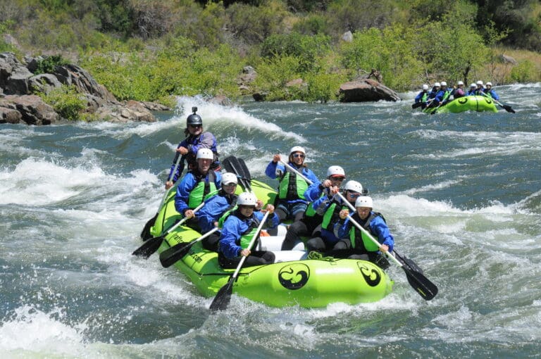
This is a mostly flat-water section runnable by smaller boats
Rapids in this Run (1)
Rapid
Forks Road Bridge Put-in
0.0 mi
Difficulty
Class I-II
Length
3.6 mi
Rapids
1
Access Points
Put-in
46.7994, -116.4252
Take-out
46.7730, -116.4570
Difficulty Classes
I Easy
II Novice
III Intermediate
IV Advanced
V Expert/Extreme
VI Unrunnable
Current Conditions
5-Day Forecast
Whitewater data from
American Whitewater
1. Forks Road Bridge to Little Boulder Creek Campground