1. Kennedy Mill (Frew Mill Rd., SR 1012) to Eckert's Bridge
Linked via: Nhdplus discovery 90% confidence Synced 6mo ago
Gauge Conditions
Runnable: ? – ? CFS
Approximate reading: This gauge is 7.9 miles away on Slippery Rock Creek. Use as a general reference only.
Data from American Whitewater & USGS
Run Map
Run Time Estimate
Select put-in and take-out to estimate time.
Unlock Advanced Trip Planning
See wind-adjusted speed maps, forecast planning, and detailed time estimates.
Sign in to generate an AI timing estimate for this run.
Whitewater timing varies with scouting, portages, and group pace. Use as a planning baseline.
Description
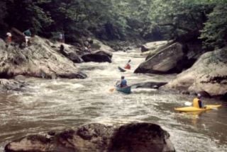
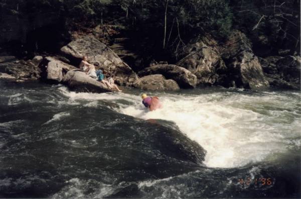
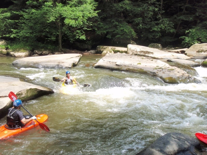
A local favorite: beginners like it for its relatively easy (mostly Class II, but there are a couple of III-) rapids; experienced paddlers head there for the play. Everyone likes its beauty.
Check out Three Rivers Paddling Club or Larry Wentzel's exhaustive description.
Directions: head for McConnell's Mill State Park. From the West and North, take I-80 to Rt. 19 South. Check out the Keel-haulers Map (linked to in the 'Maps' section at the right) for details to the putin and takeout. There are several alternate putins: the Ranger Station, probably half a mile downstream from Rt. 422; Frew's Mill, a mile or so upstream of 422 (this adds a lot of flatwater, but it also adds a couple of neat rapids and some nice scenery); and Rose Point, not far upstream of 422. Rose Point is an easier putin, but it adds some flatwater and parking is limited.
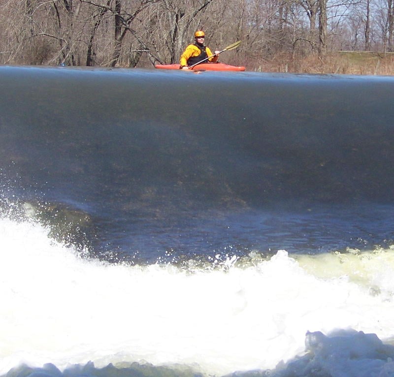
It can be a fun run in the mid-winter, but be warned: you might find the wrong kind of white water. Click here to see what I mean.
For those who might have trouble with the Slippery Rock Gorge, especially at high water, check out the Lower Slippery Rock.
Rapids in this Run (2)

Playspots (3)

Hazards & Portages (1)
Caution: The following locations may require scouting or portaging. Always check current conditions.
Difficulty
Class II-III
Length
4.1 mi
Gradient
23 ft/mi
max 30
Rapids
2
1 Hazard
Access Points
Shuttle Info
Used to be, to shuttle you'd drive through the park and take Kildoo Road to get to the takeout. Kildoo Road is now closed, so the best way to get to Eckert Bridge is to go out to Rte. 19 and take Cheeseman Road downhill.
For directions from the Ranger Station to the takeout, [click here](http://maps.google.com/maps?f=d&hl=en&geocode=3899862920289146589,40.966120,-80.169210%3B14705396638711751665,40.940450,-80.176170&saddr=40.96612N,+80.16921W&daddr=40.936729,-80.156593+to:40.94045N,+80.17617W&mra=dpe&mrcr=0&mrsp=1&sz=13&via=1&sll=40.951285,-80.171745&sspn=0.056787,0.11673&ie=UTF8&z=13).
Difficulty Classes
I Easy
II Novice
III Intermediate
IV Advanced
V Expert/Extreme
VI Unrunnable
Current Conditions
5-Day Forecast
Whitewater data from
American Whitewater
American Whitewater