1. Quentin Creek to Blue River Reservoir
Linked via: Proximity 98% confidence Synced 6mo ago
Gauge Conditions
Runnable: ? – ? CFS
Approximate reading: This gauge is 1.8 miles away on Blue. Use as a general reference only.
Data from American Whitewater & USGS
Run Map
Run Time Estimate
Select put-in and take-out to estimate time.
Unlock Advanced Trip Planning
See wind-adjusted speed maps, forecast planning, and detailed time estimates.
Sign in to generate an AI timing estimate for this run.
Whitewater timing varies with scouting, portages, and group pace. Use as a planning baseline.
Description
Overview Upper Blue River beginning at the Cook Creek confluence is a high quality, action packed, intermediate run less than an hour from Eugene/Springfield that features a wide variety of rapids and moves in an incredibly beautiful setting. With the exception of a true waterfall, this run has everything! If it ran every day like the White Salmon this would be a destination run - it's that good. This run is roadside, and although the road isn't visible from the river for most of the run, a scramble egress is possible in most places, and you can scout all the major rapids on your drive up.
The Upper-Upper (From Quentin Creek to Cook Creek) features some exploratory boating, lots of wood, and a significant Class V drop. Most people put in a Cook Creek.
The most commonly run section is from Cook Creek to Blue River Reservoir and it can be run in less than an hour by an efficient crew that knows the lines and current wood hazards. Two laps are not uncommon, but most crew's are content with one. This is primarily a rain fed river throughout the winter and runs with most rain storms, but access can become limited by snow on the road late in the season. In years with a good snow pack (which are increasingly uncommon), after work Blue laps on meltwater are a treat in April in May when the days are longer.
Difficulty & Character
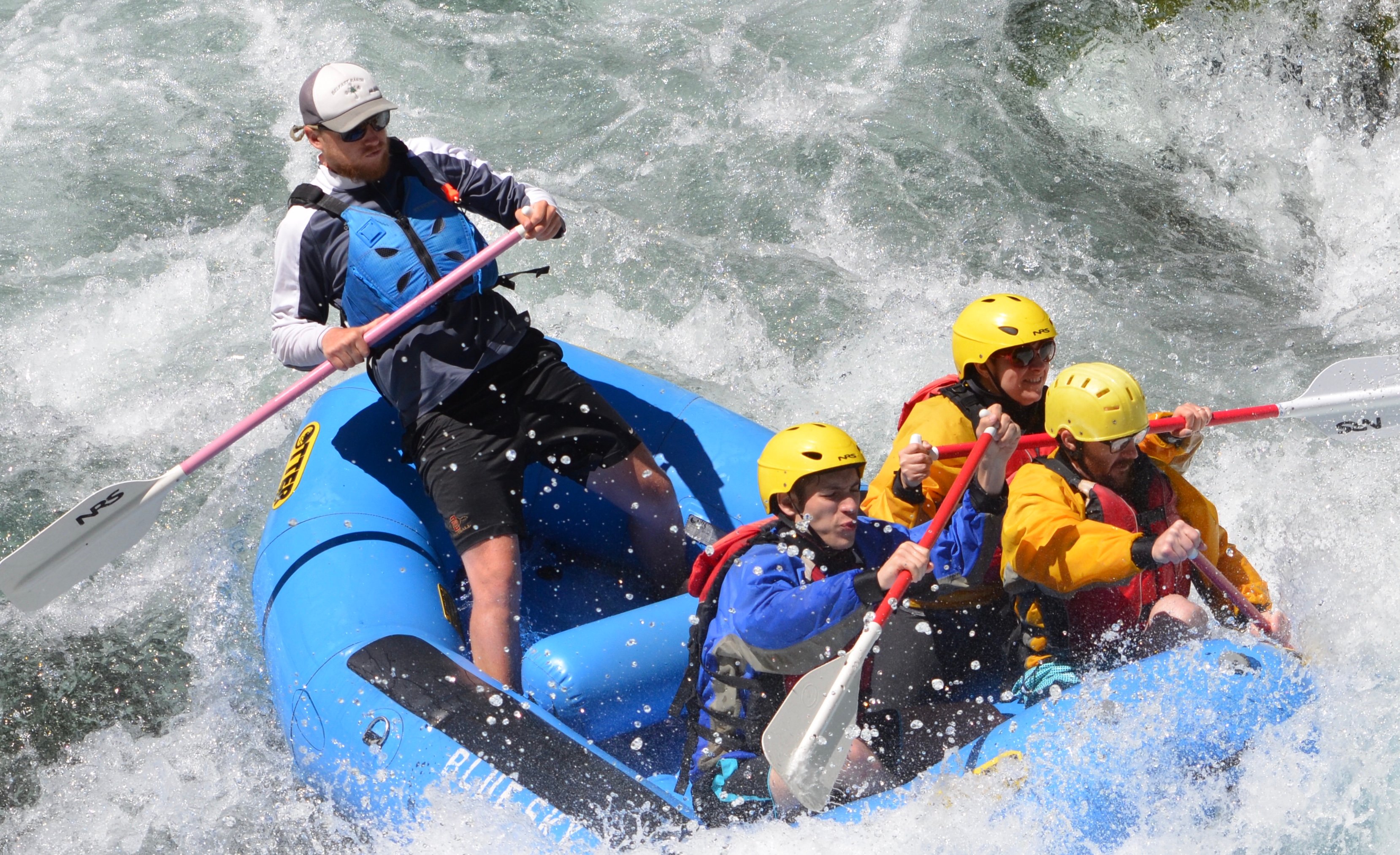
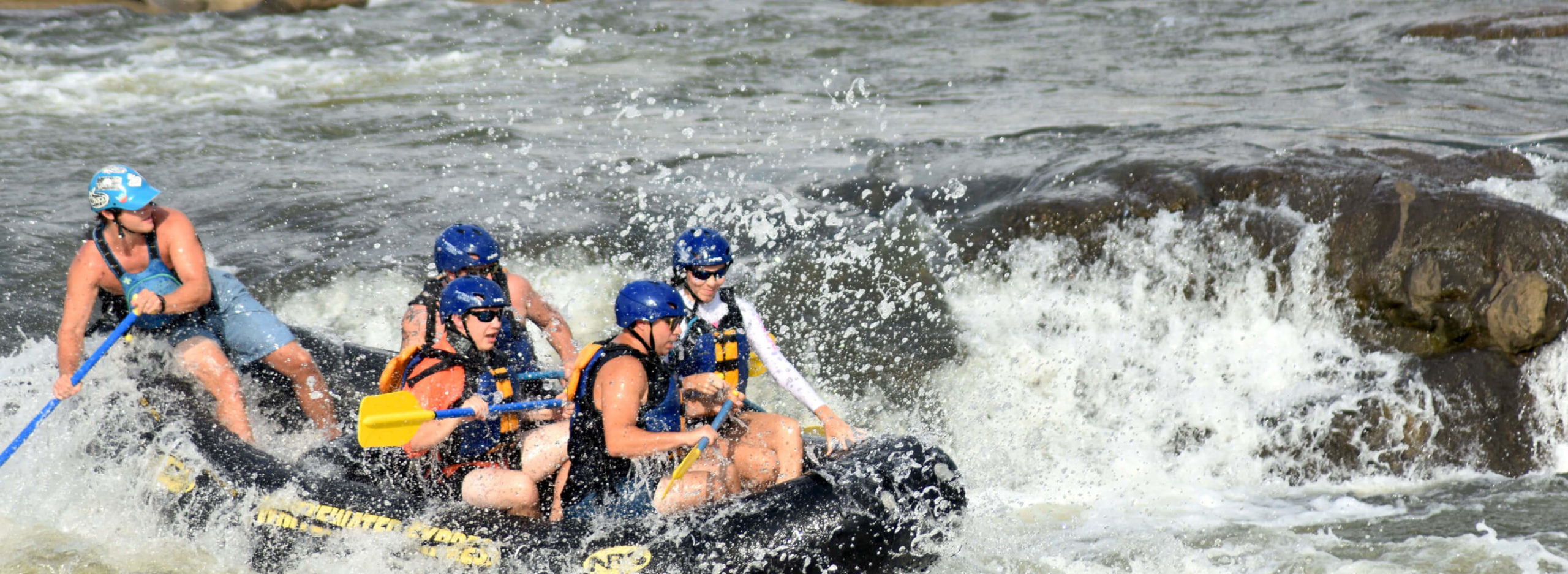
The base difficulty of most rapids is III/III+ consisting of bedrock slides and ledges interspersed with significant boulders at a few key class -IV/IV rapids. However the rapids are closely stacked, the riverbed is narrow, and brush or wood is almost always a factor. For these reasons it is not recommended for class III paddlders. That said, this is an excellent 'introduction to creeking' run for folks with solid class 3/4 river skills. The run begins with a bang and if someone is feeling out of their element in the first 1/2 mile, it will only get more uncomfortable and hazardous the further downstream they go. There are many places to scramble up to the road if someone is over their head on the first couple of pitches. While the crux rapid 'Pincushion' is the only true class IV on the run (with the possible exception of the 'Brushy Slot' and run out to the lake), those with some class IV skills and experience will have a better, safer, experience here overall.
Video Beta:
+/-1200 CFS in April of 2023: https://youtu.be/qupmQZskB\_4
+/-400 CFS in April of 2023: https://youtu.be/hKgwM9KsmmA
Run Description
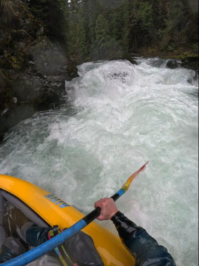
From the put-in at Cook Creek, the river begins right away with five or six class 3 and 3+ bedrock rapids with short pools between. Paddlers will continue through some class 2/3 until they come upon a nearly riverwide old growth tree. the line is to pass it on the left throuh a shallow riffle and try not to get poked in the eye by a haning branch. Portage is possible, but not as easy as you'd like, on the right. Immediately after this tree is the lead-in to Pincushion. Scout from the road, and portage on river right above it, or from a mid-rapid eddy on the right above the obvious bedrock finger.
A short distance below Pincusion is a fantastic flairing rock boof move right of center. Catch the eddy on the left above it and set up your line. You can also run it down the middle with less style.
Shortly after this fun move is 'Pickup Sticks' also called 'Teeter Totter.' Spend some timing looking at the logs hanging over the river and you'll understand both names. This is visible from the road. Portage on the right if you're uncomfortable with the class 2+ line that threads the needle between a pyramid of logs wedged in a bedrock rapid. Lots of good paddlers have swam here by being pushed up on the Teeter Totter log.
Directly after the pool below pickup sticks is the lead in to 'Better Than,' the last big rapid in this section of the run. For years there was a small sapling that grew out of the right bank and complicated the line with a branch at eye level that required a duck at a critical point in the sequence. At some point our crew starting calling this rapid 'Better Than' both because it was a better quality rapid than Pincushion, and also because the rapid was 'better than a sharp stick in the eye, which is what you'll get if you don't duck at the right time.' A few years ago an eager beaver with a pair of loppers who will remain unnamed in this report, cut out the offending sapling and cleaned up the line. The rapid decidedly got a half-grade easier with its removal, thus replacing one of the explanations for the rapid's name that remains: Better Than (arguably, than it was before).
From here the river maintains a consistent pace of bedrock rapids, ledges, and pools for a few miles. One spot in particular is the only one on the river that has dished out more carnage and swims than Pincushion. After a fast straightaway the river is pinched by a car sized boulder on the right and creates a significant hydraulic on the right side. You can boof/punch it on the right at some levels, but at most levels you'll be in for a ride. There is a boat width tongue on the left to aim for. This is visible from the road.
Another mile or so of good whitewater brings you to a rope swing on river left. This marks the entry to the last pitch to the lake. Unlike the rest of the run this is a long boulder garden rapid and depending upon the lake level can either be a 50 yard or 150 yard long rapid class -IV rapid. In the first 20 yards of the rapid there is a fun sloping rock that at most flows provides a great rockslide into a brief pool before the final pitch. The last sequence is called 'Brushy Slot' and the name describes the entry move required to hit the final boulder garden. Too far right and there is big pin potential, too far left and you run out of water. There is a 1.5 boat width slot between two bushes that grow out of midstream rocks that you must thread between and that sets you up for a read and run boulder garden to the takeout near the confluence of Blue River and Lookout Creek. . You can scout most of this from the bridge that crosses the river (on your left as you drive up), but seeing the slot move itself isn't possible without binoculars and a guide.
Bonus Feature: when the lake level is low in the winter, those paddlers waiting on shuttle drivers can walk their boats up the road a short distance and put in on Lookout Creek. Underneath the bridge crossing the creek is a long bedrock slide into a powerful hole. It's worth doing once a year.
Flows and Gauge
(Updated December 2024): The new and improved American Whitewater gauge service corrected the gauge for this reach and it now displays the NOAA gauge data accurately and in CFS which is what most boaters use. The flow ranges have been updated accordingly. Below is an archival assessment of the relationship between stage height and flow. Archival:
_The NOAA gauge has been re-linked to the reach page, but will only display gauge-height in feet. Most paddlers use CFS to describe the level on this run._
_Pat Welch has an estimated CFS flow listed here._
_There is a correlation table here: http://www.nwrfc.noaa.gov/river/station/ratplot/ratplot.cgi?BRTO3_
_Based upon the table for this gauge:_
- _3.21 feet is about 200 cfs which is about the bare bones minimum, and you might be scraping or walking in some sections, with others being fluid and ELF fun._
- _5.0 feet is about 800 cfs and is a nice medium, padded, fast paced, fun rock moves, and generally a nice 3+ (-IV) experience._
- _6.12 feet is about 1500 cfs and is widely considerd to be the high end of the Class 3/4 difficulty_
- _6.8+ is about 1800 and at this flow, and above, it is much more pushy, some holes get sticky, the pools get really short, and swims can be long. Great fun if you know the lines._
_These flows are for the Cook Creek put-in down to the lake._
_Upper Upper Blue_
There is an upper upper put in (Quentin Creek) that adds a fun section of slides when the water is up (over 1,000 cfs). This is accessed by continuing upstream past the upper put in (Cook Creek) 1 mile. The overgrown spur road goes down to the right towards the stream. You can park at an intersection on the main shuttle road another 100 feet past the spur. The upper put in starts just above the retired gauge station mentioned in this report, that report also includes a trashy upper part that most paddlers probably wouldn't consider worth the effort.
See the Blue River description and photos at Oregon Kayaking.
Trip Report at Wheels and Water.
There is plenty going on whitewater-wise in the Blue River drainage, and a lot of paddling can be done in a day with an efficient crew.
Rapids in this Run (4)


Hazards & Portages (1)
Caution: The following locations may require scouting or portaging. Always check current conditions.
Difficulty
Class III-IV(V)
Length
5.5 mi
Gradient
91 ft/mi
Rapids
4
1 Hazard
Access Points
Difficulty Classes
I Easy
II Novice
III Intermediate
IV Advanced
V Expert/Extreme
VI Unrunnable
Current Conditions
5-Day Forecast
Whitewater data from
American Whitewater
American Whitewater