1. Upper (Lake Sequoyah to below Cosmic Crunch)
Linked via: Proximity 95% confidence Synced 6mo ago
Gauge Conditions
Primary
Runnable: 4.0 – 6.0 FT
Data from American Whitewater & USGS
Run Map
Description
First, anyone running this section of river must be aware that there are several unrunnable waterfalls and slots along with miles of flatwater between the rapids in this section of river. No one runs the whole thing but instead this section of river is usually run in several parts. For example the upper slide is usually done as a one shot waterfall and the gorge above the Nemesis to Bricklayer Falls and Cosmic Crunch section is run by itself as a short class V+ run.
The Cullasaja begins on the west side of Highlands NC, at the outflow dam of Lake Sequoyah. The rest of the run is semi-roadside along Hwy 64.
For the top Park & Huck:
Put-in at the base of the dam. If the first drop scares you, then you should not be on the river. The first drop is a three tiered slide dropping about
60 feet. The drop is similar to Stairway to Heaven on Bear. Then pull your boat back up the rock face to hike back out.
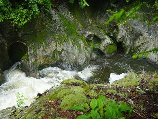
Below Triple Drop is a short gorge with a lot of flat water and wood. There are at least 4 trees of 2 feet plus diameter that cross the entire river bed. The only major drop is a slide/Flume 150yds above Dry Falls. The Flume looks nasty and cuts from center and goes river right before it empties out directly into a rock wall. Run the slide river left, and don't forget to take out as soon as you can because the mandatory portage, Dry Falls is just downstream. Taking out here is short, but rough because of the dense undergrowth.
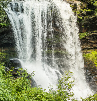
Below Dry Falls is another gorge with some good class 5 water in it. After that the gorge flattens out for a few miles leading up to the RT 1620 bridge aka Turtle Pond Road is where the USGS on-line gauge is.
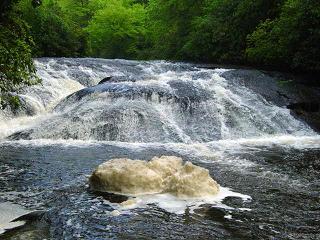
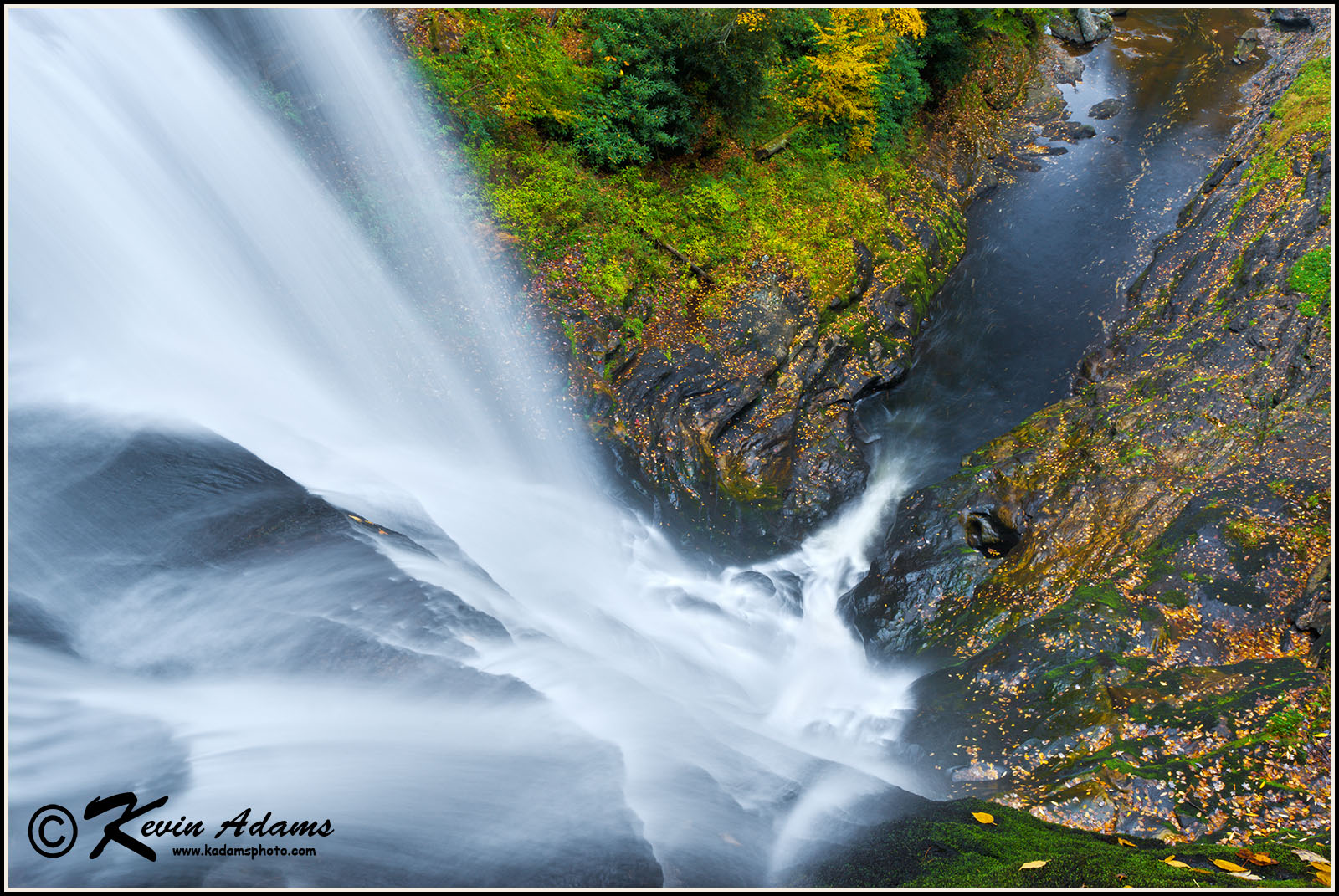
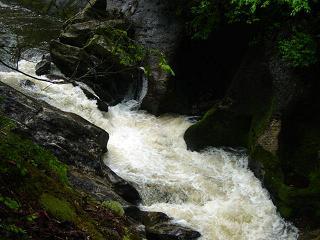
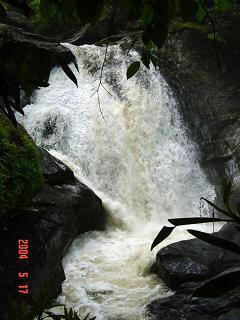
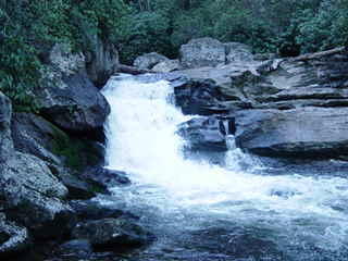
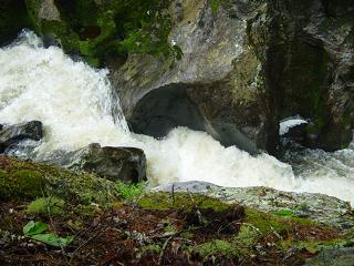
There is one more major gorge of note below this. And it includes the big roadside drop, Nemesis. If you are driving upstream from the lower, the first really big drop you will see above the falls will be T-Bone on the middle section. It will have a pullout that can handle about 10 cars. Keep driving upstream. About three more miles up the road and the river will take a sharp right hand bend. If you look upstream at the bend you will see a big convoluted mess that makes T-Bone (class 5) look like a walk in the park. ThatÂs Nemesis. There is a roadside pullout past it on the right. You can decide if you are all that in a creek boat or not. To scout: park and walk back down the road until you get to the sharp bend where the guardrail is built on a rock wall. Walk under the wall and you'll see Nemesis. Be Careful the Rocks are VERY Slippery. If you make it down through Nemesis you might as well keep going to Bricklayer Falls. About a 60 foot drop that ends on a huge rock that cuts the river in half. Be sure to have some left or right angle when you go. Below Bricklayer is a convoluted mess called Cosmic Crunch that is on the outward realmes of what is runnable.
Take-out on river right below Cosmic Crunch where a forest service road meets the river, or you could just paddle the extra mile down to T-Bone and take it in too.
AFWS Current Rainfall Data for Macon County.
Check the Highlands gauge, 1824.
_See also:_ Other sections of the Cullasaja:
0\. Above the lakes (Class IV-V+) 2\. Middle (Below Cosmic Crunch to Above Cullasaja Falls) (Class IV(V+)) 3\. Lower - Base of Cullasaja Falls to Peeks Creek Bridge (Class IV-V(V+)) 4\. Peeks Creek Rd (NC-1678) to Peaceful Cove Rd (NC-1677) (Class II(III)) 5\. Peaceful Cove Rd (NC-1677) to Fulton Rd (NC-1668) (Class I-II)
Waterfalls (7)
Hazards & Portages (6)
Caution: The following locations may require scouting or portaging. Always check current conditions.
Difficulty
Class IV-V+
Length
4.1 mi
Gradient
167 ft/mi
max 300
Rapids
0
6 Hazards
Access Points
Difficulty Classes
I Easy
II Novice
III Intermediate
IV Advanced
V Expert/Extreme
VI Unrunnable
Current Conditions
5-Day Forecast
Whitewater data from
American Whitewater
American Whitewater